
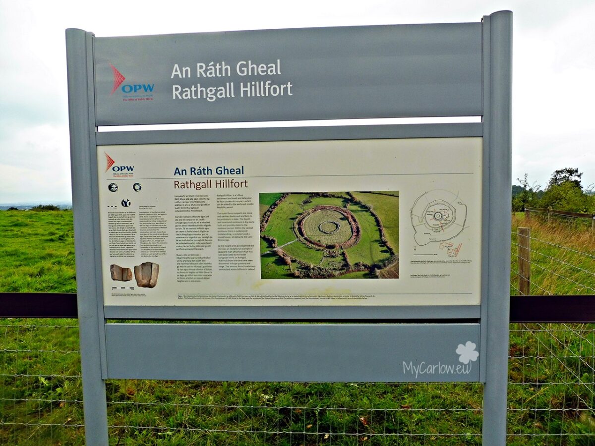
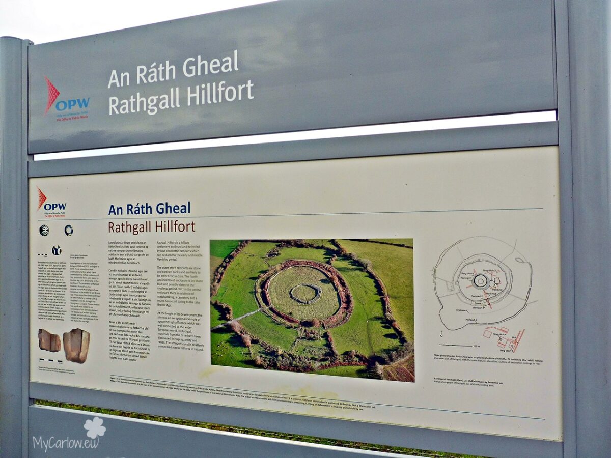
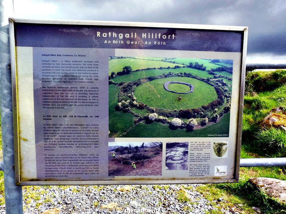
Rathgall Hillfort or Ring of the Rath is a large multivallate hill fort in County Wicklow. Located near the Shillelagh village, about 6 km east of Tullow in County Carlow and only a 3-minute drive from Rathwood.
It is one of the largest and most impressive stone hillforts in Ireland.
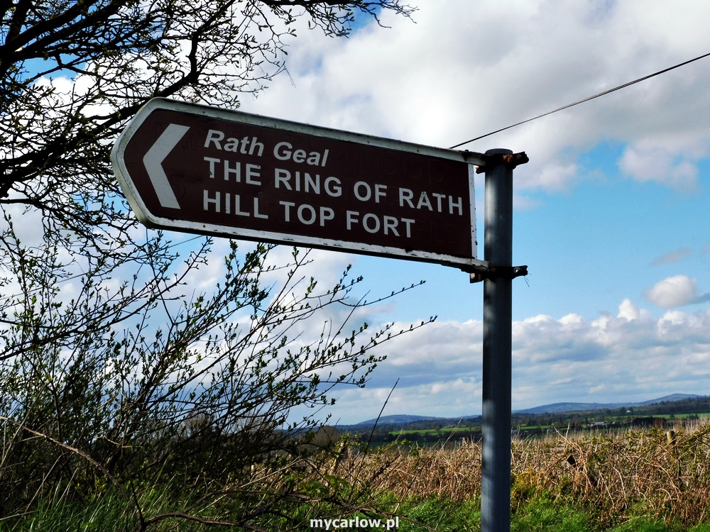
It is called Rathgall but is known locally as The Ring of Rath. In Irish it is called Rath Geal, meaning “the bright fort” and numerous myths and legends are associated with it.
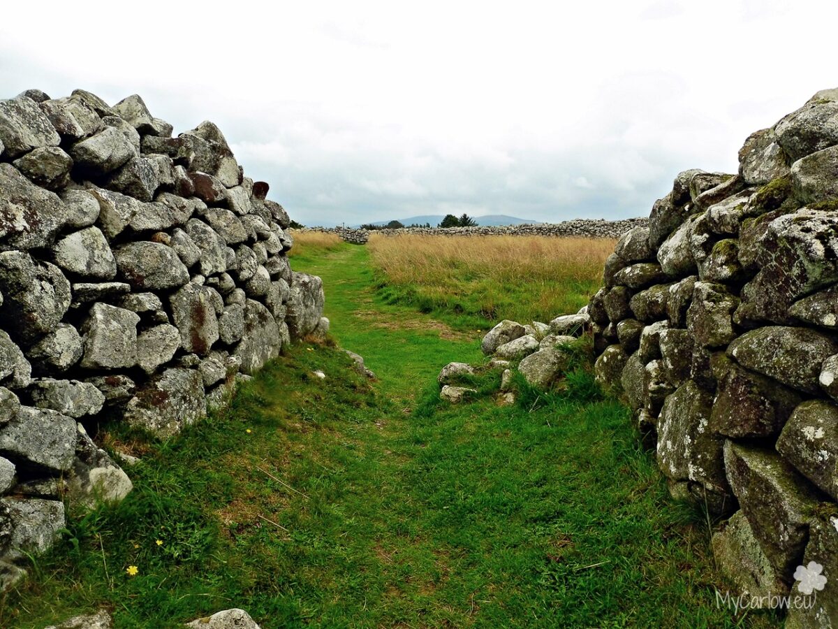
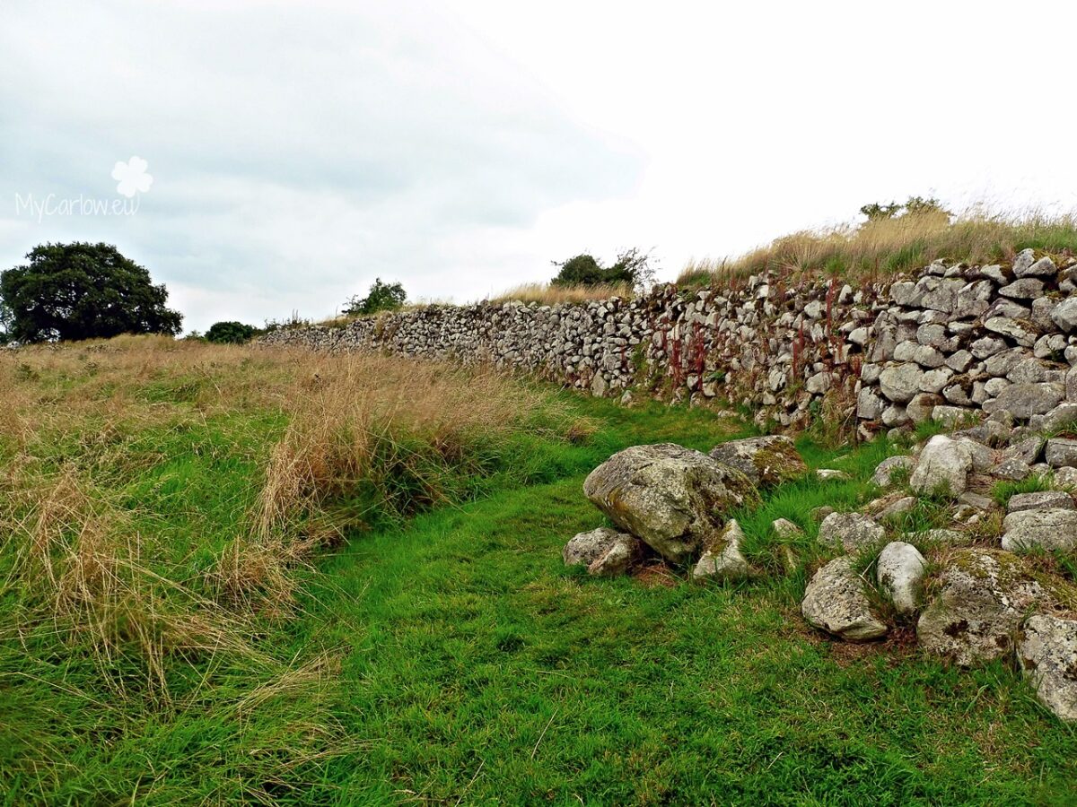
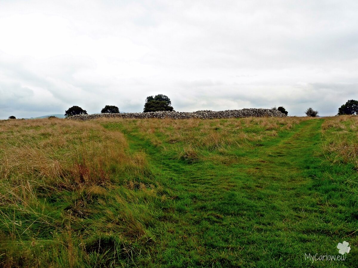
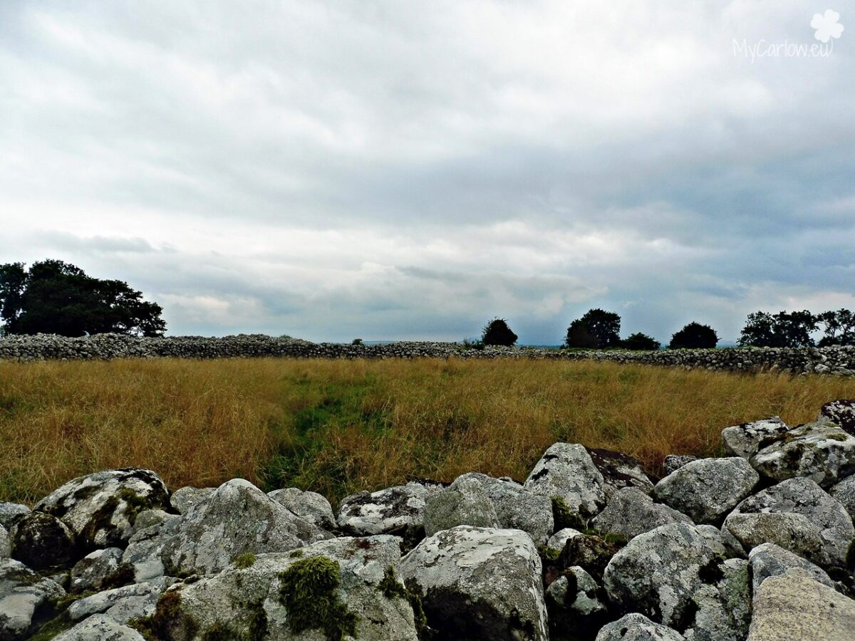
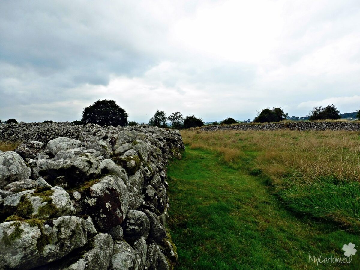
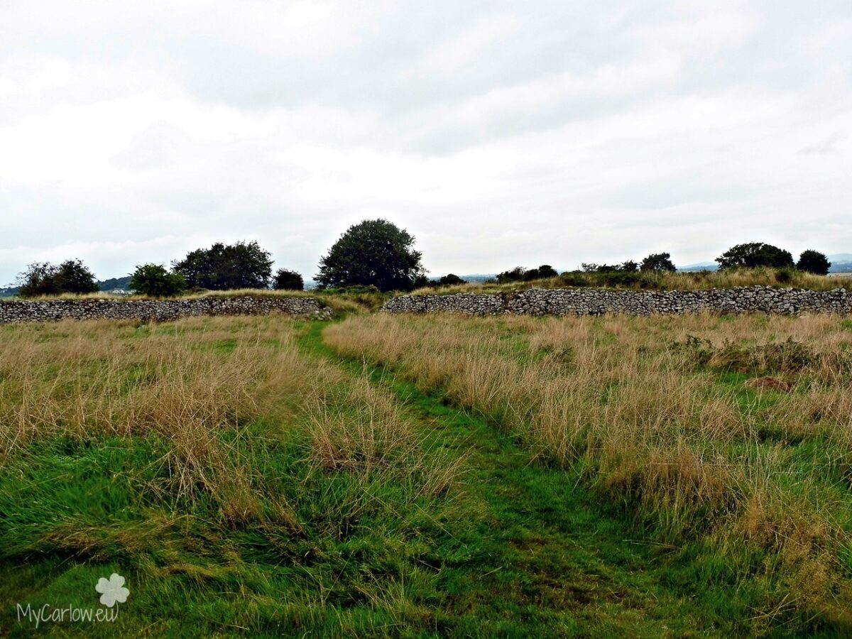
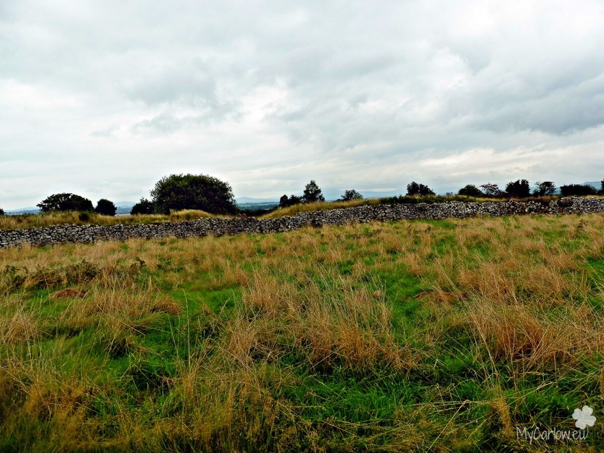
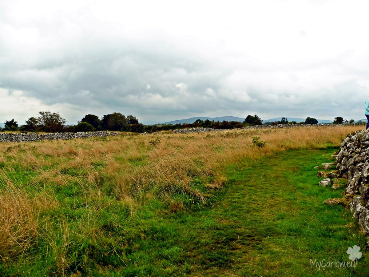
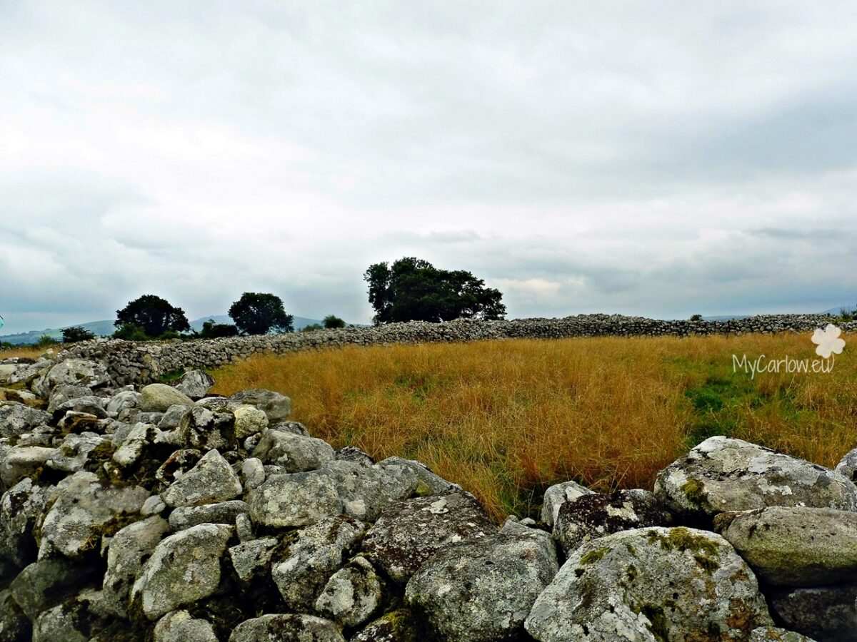
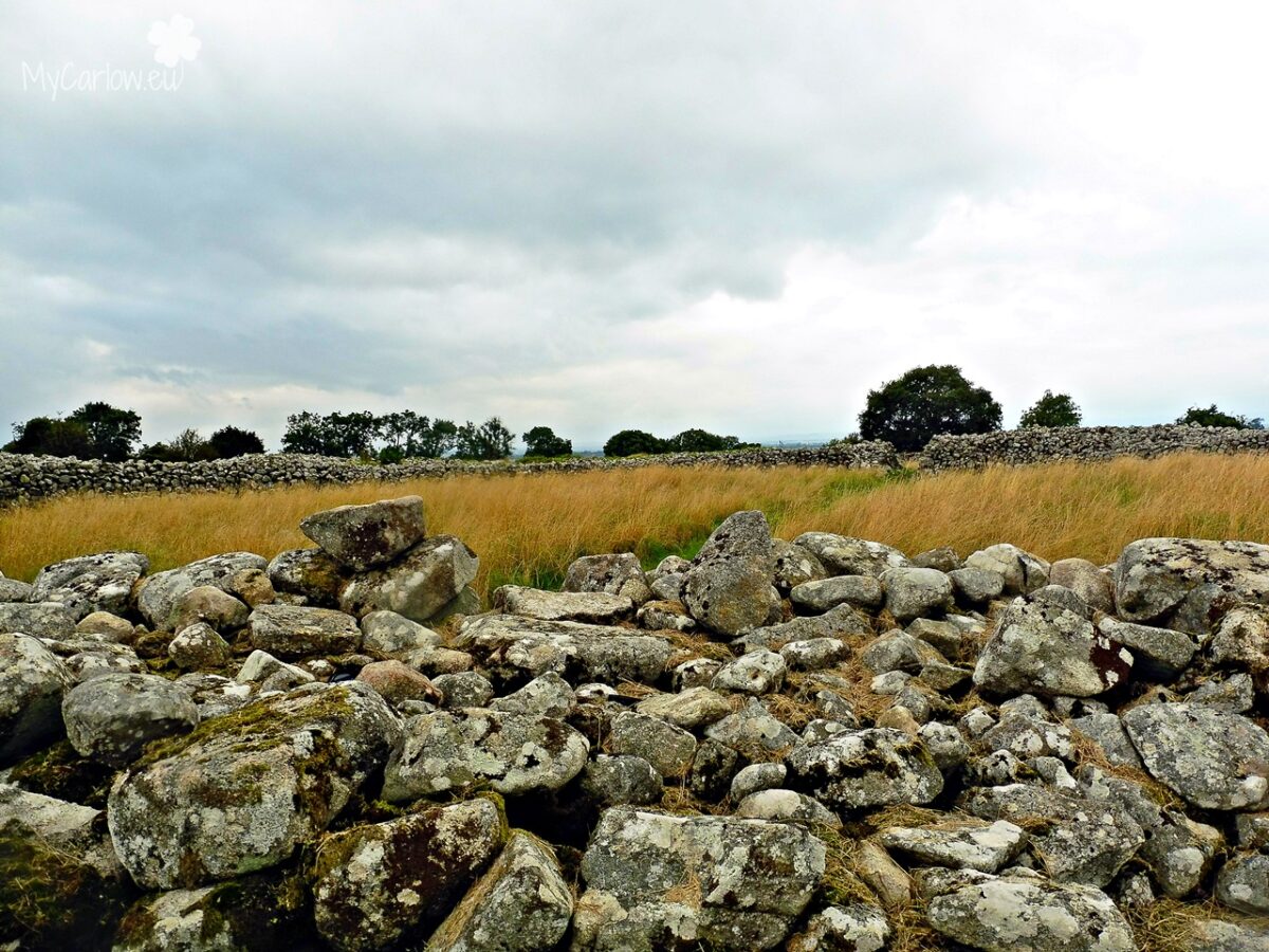
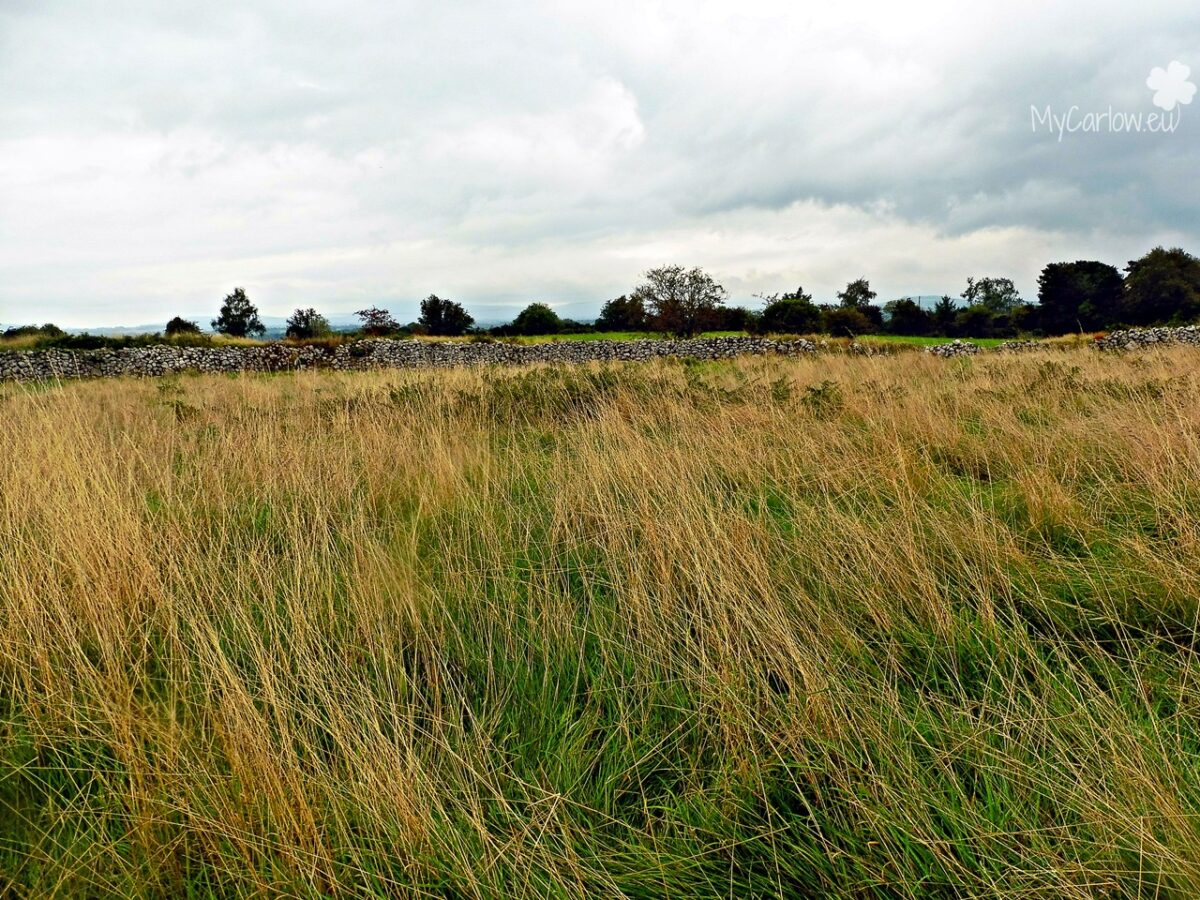
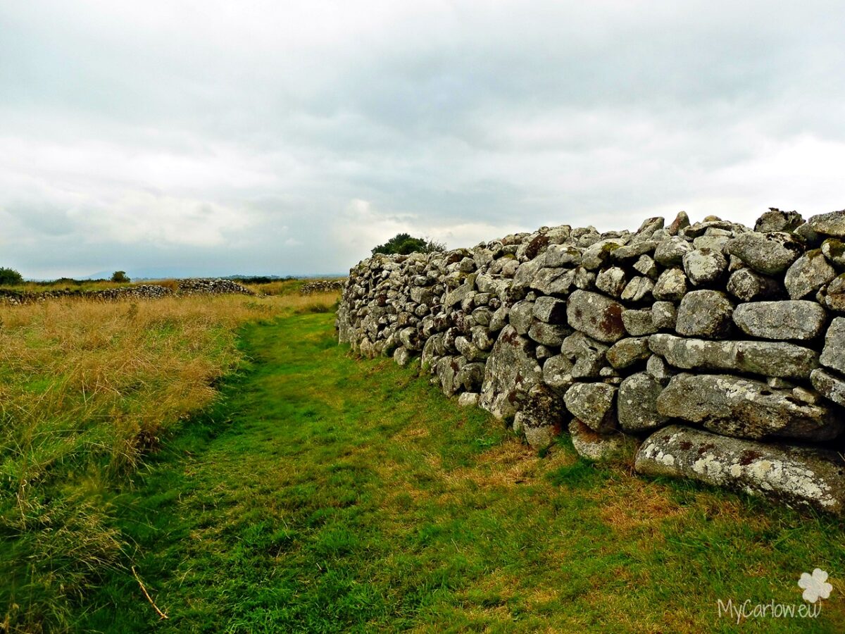
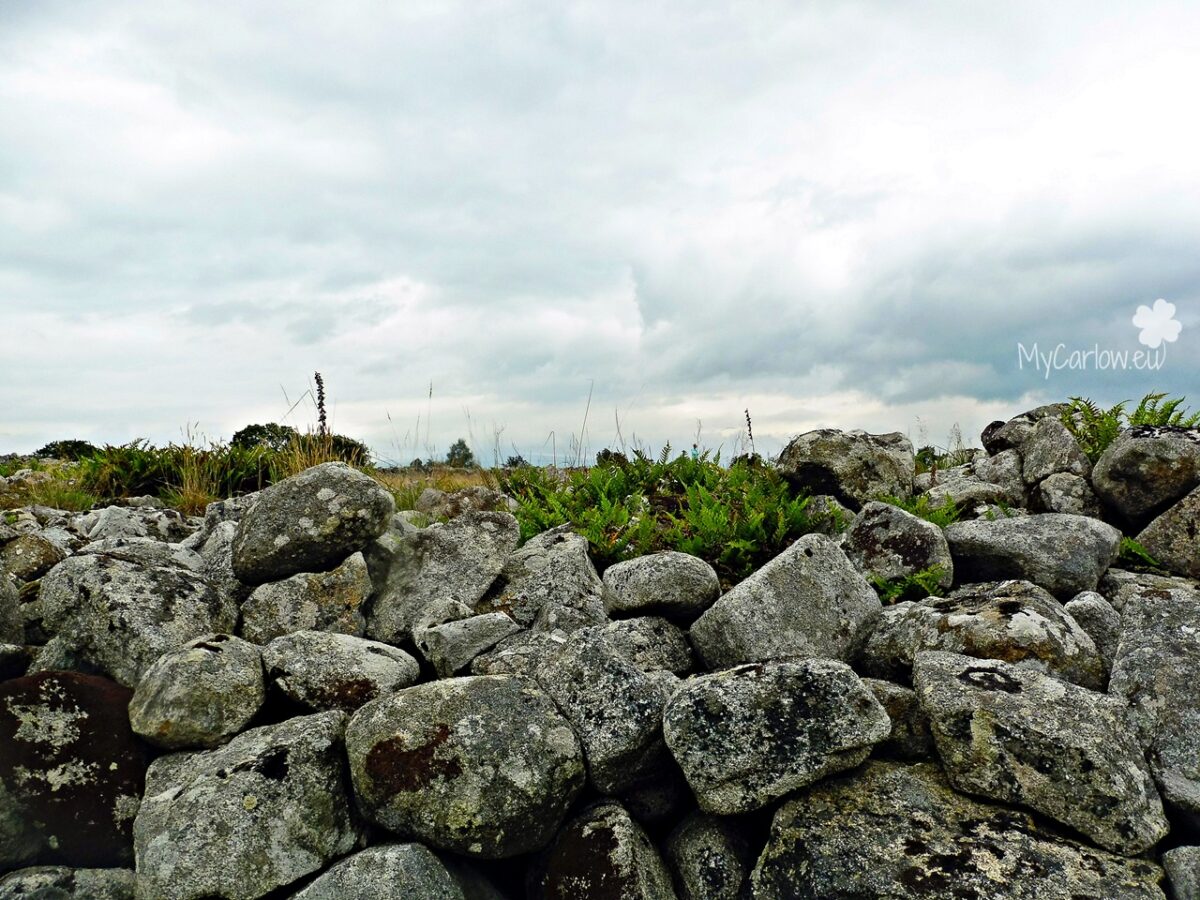
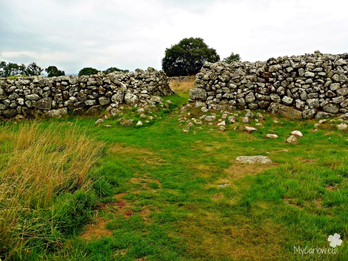
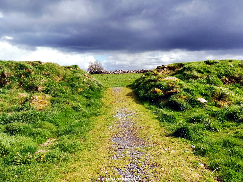
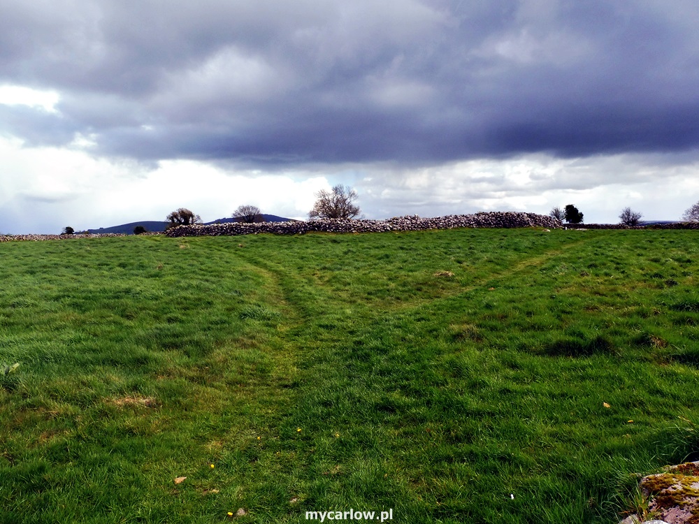
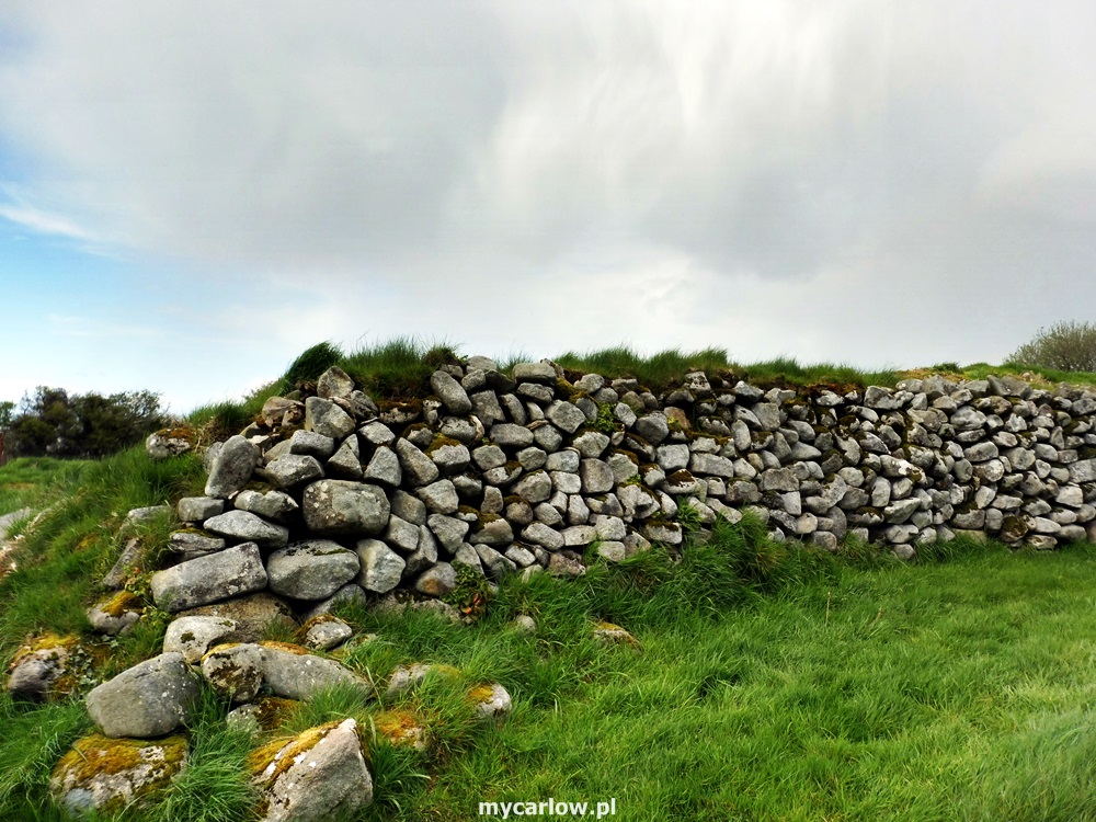
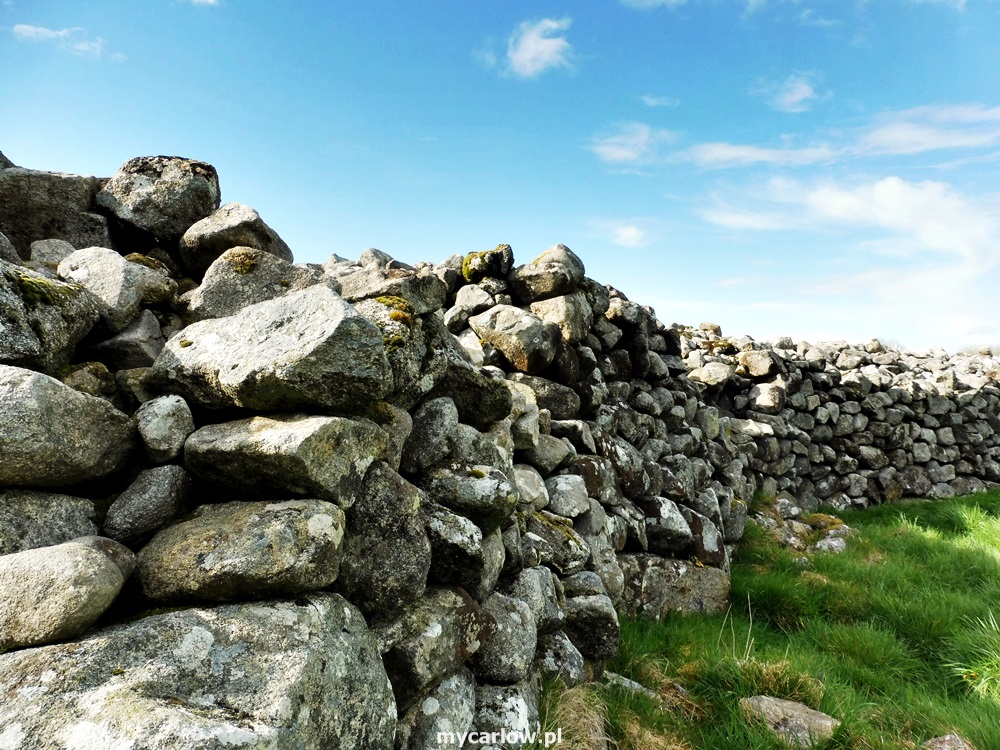
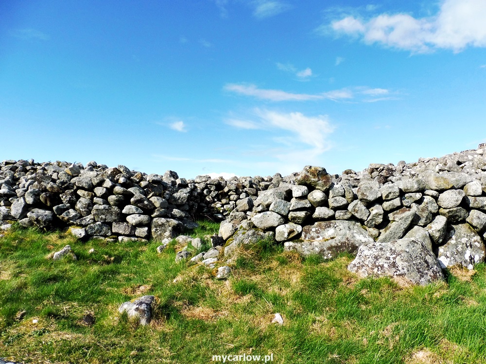
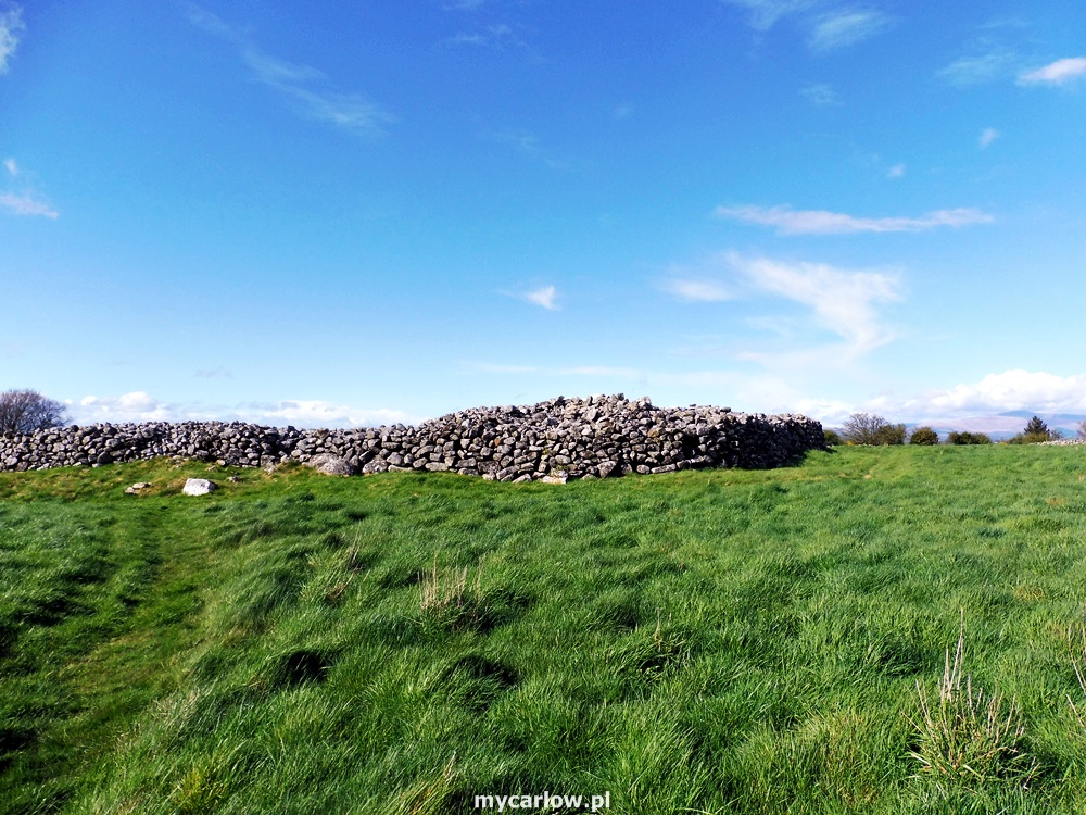
Dating from the Late Bronze Age (c. 1200-800), Rathgall consists of three concentric stone ramparts. The outer rampart encloses an area of some 7.5 hectares (18 acres – over 70,000 sq meters). Within this enclosure are two closely spaced ramparts separated by a deep ditch, similar to a henge, with an inner diameter of c.130m. At the center of this immense structure is the rath itself, a stone ring-fort with a diameter of c.45 meters.
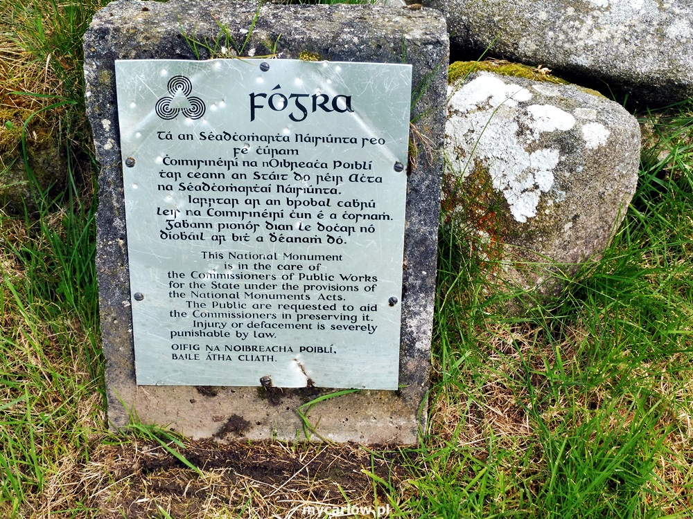
Rathgall is a National Monument of Ireland that is in state care, in the ownership of the OPW.
The site underwent extensive archaeological investigations, commencing in 1969 by Professor Barry Rafferty. There was a considerable amount of local interest and curiosity in the excavations at that time partly due to the employment of local people to assist the excavations and partly due to the wealth of artifacts uncovered. The investigations found evidence that this was the site of an important and busy Bronze Age factory for metalworking (axe and spearheads, swords) and for pottery, jewelry, and glass beads. In total over 50,000 pottery fragments were found!
There are numerous legends that are associated with the site including fairies and as a site of pilgrimage for childless couples.
Comprising four rings, the inner three being circular stone ramparts with the innermost constructed at a later date than the others, this site is just amazing to view.
Ring Rath Sone Fort is open to the public to visit any day of the week.
How to get there: take the N81 to Tullow and in the town turn onto the R725 towards Gorey. Drive for approx—2KM where you will come across a fork in the road. Head down the left-hand road and drive for approx. 1KM. You will come across a wide gate to the right with the fort signposted.
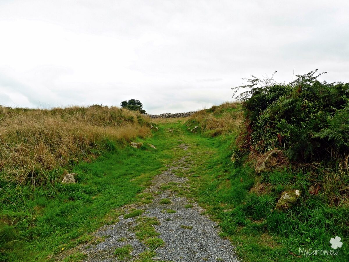
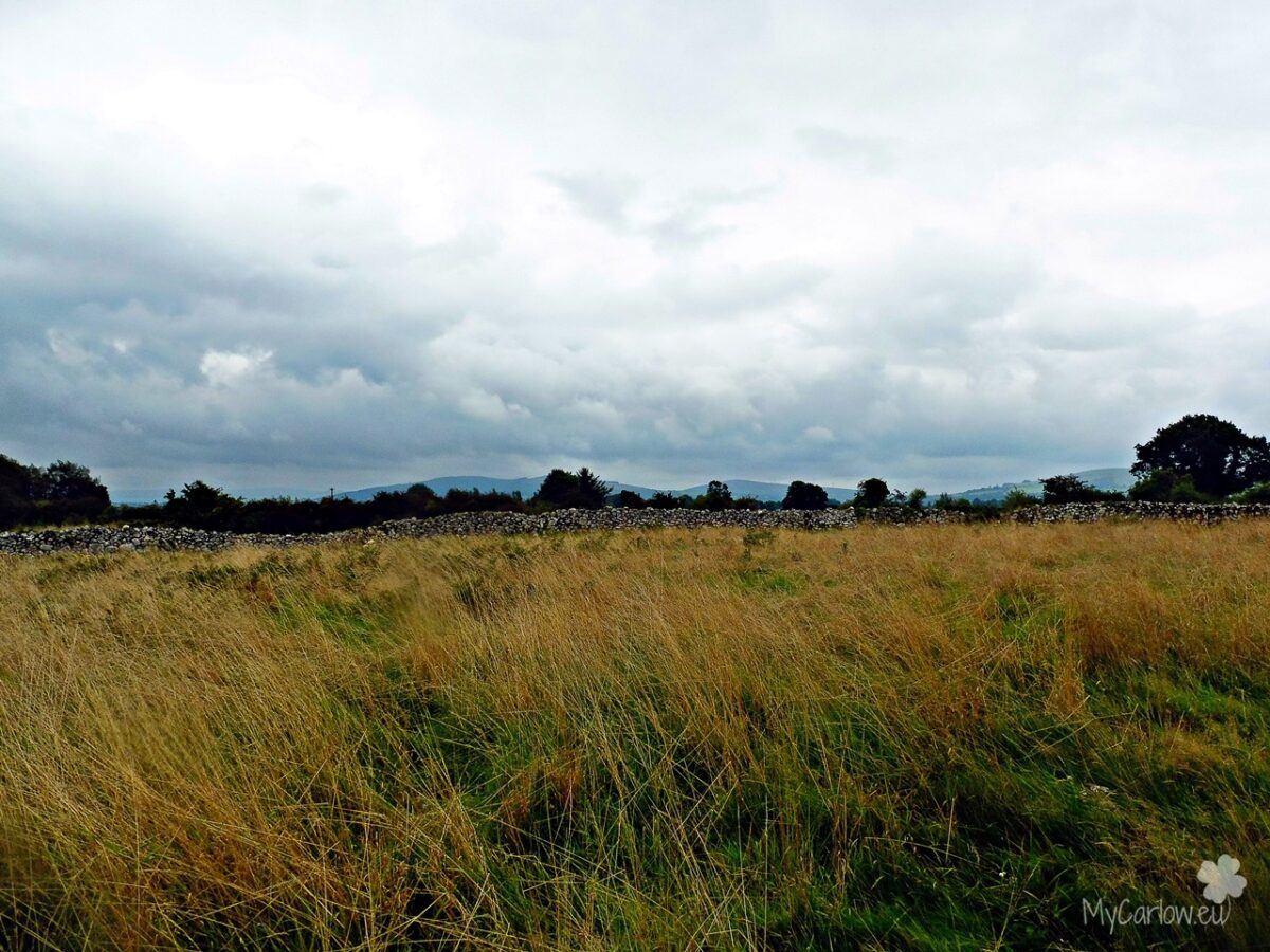
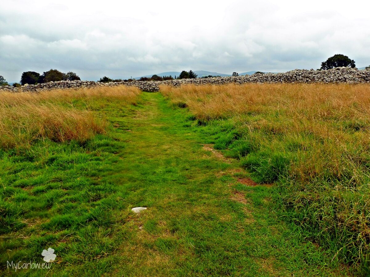
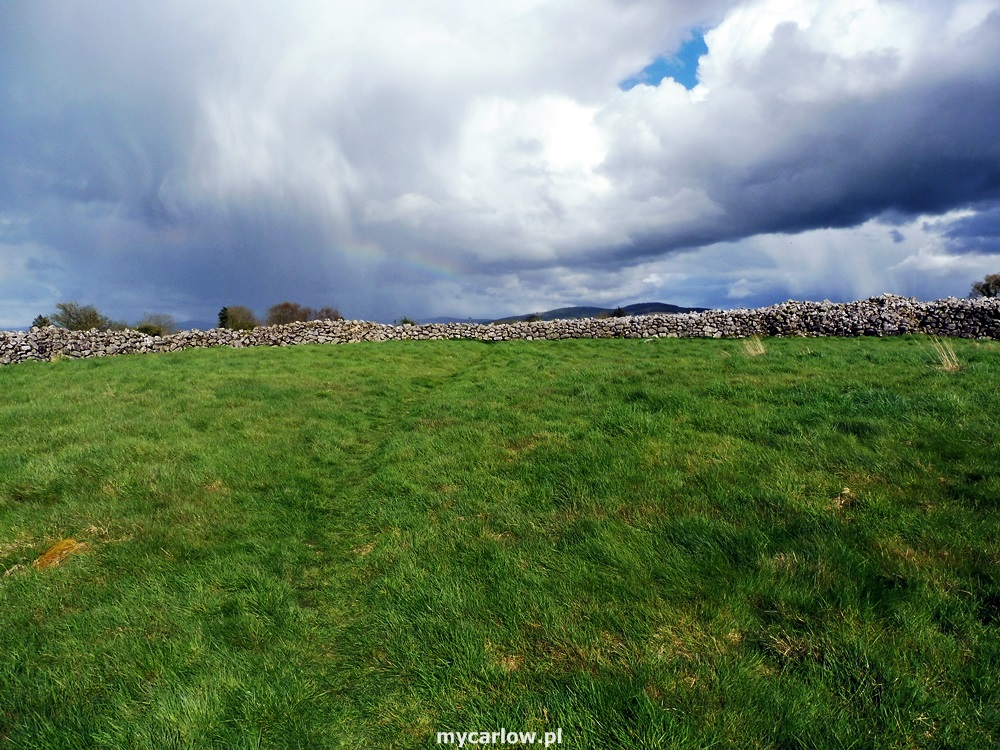
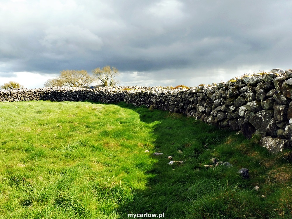
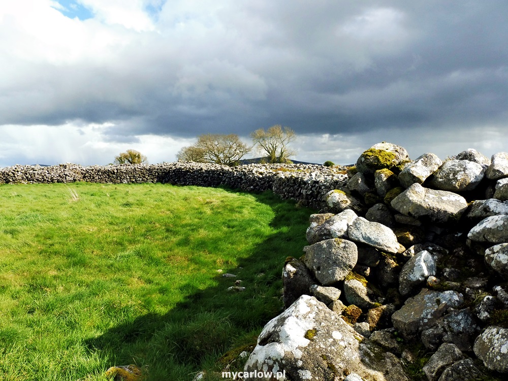
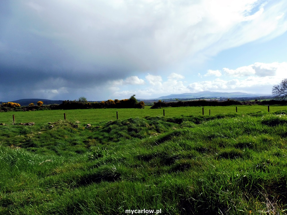
Although Rathgall is a Hillfort, it is actually quite close to the road and is easily accessible. With spectacular 360° views of the surrounding countryside, this ancient site is well worth a visit.
Location of The Ring of the Rath:
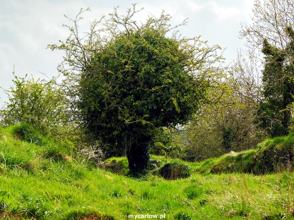
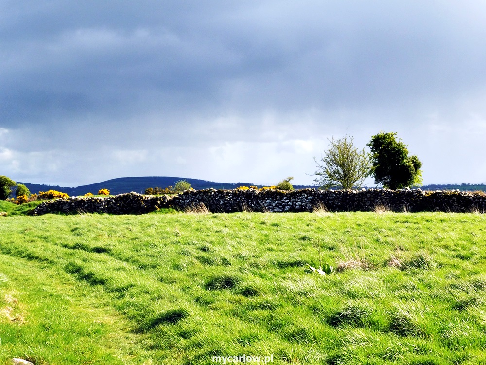
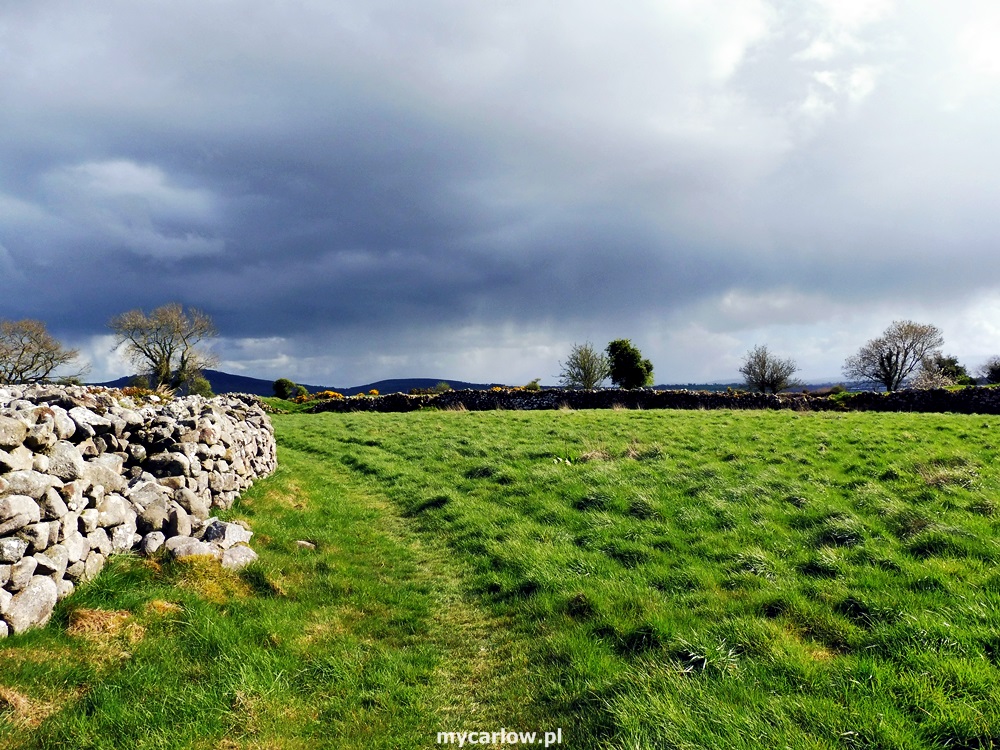
Below are photos I took in September 2021.


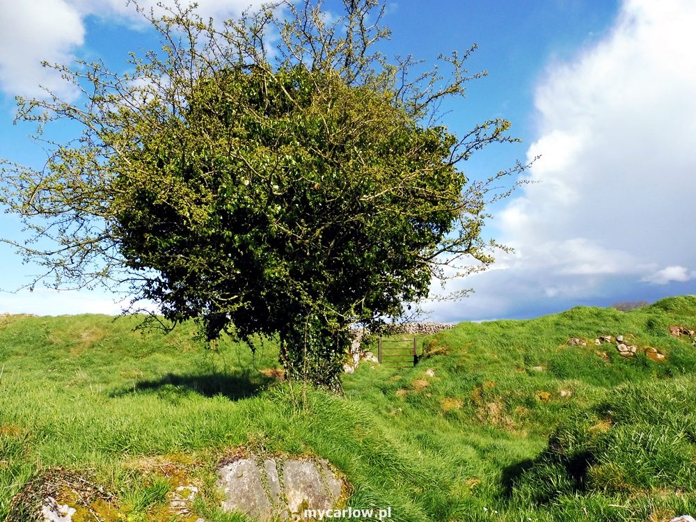
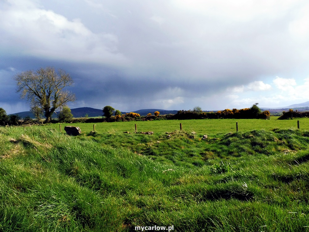
I visited The Ring of the Rath also in May 2018 – below my video and photos.


Hi,
Could you please suggest where I may find a poster with an aereal view of the ring of Rath?
Thanks
Paola