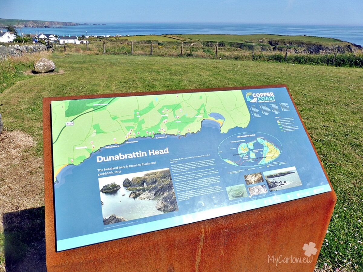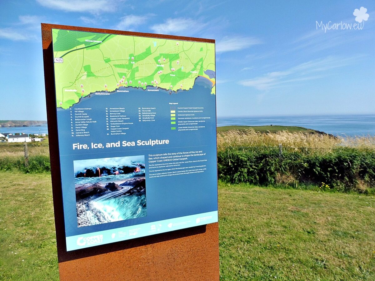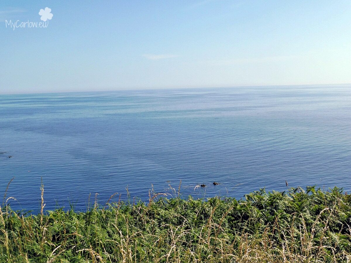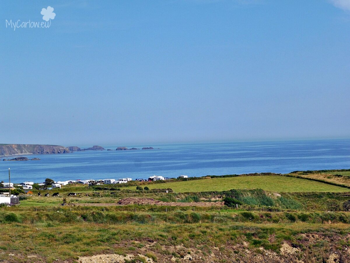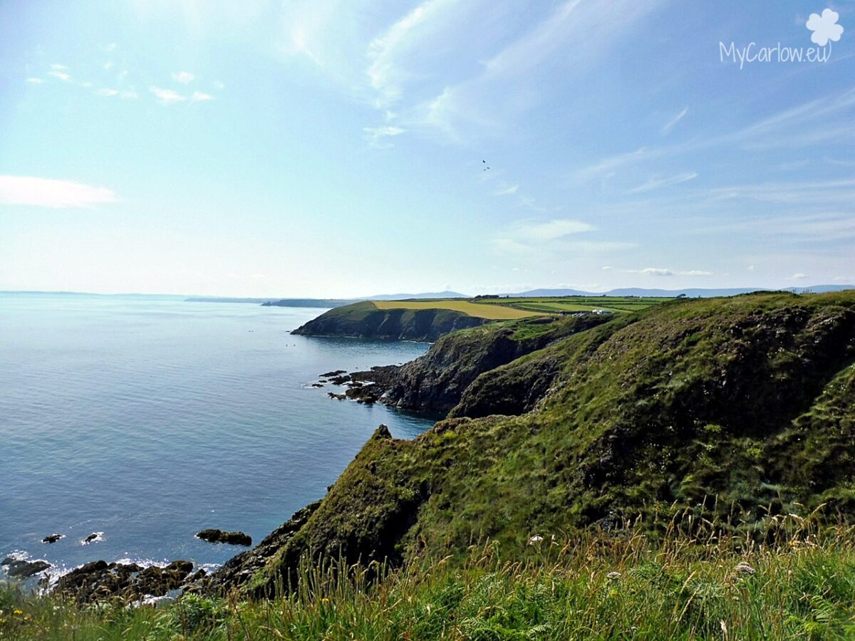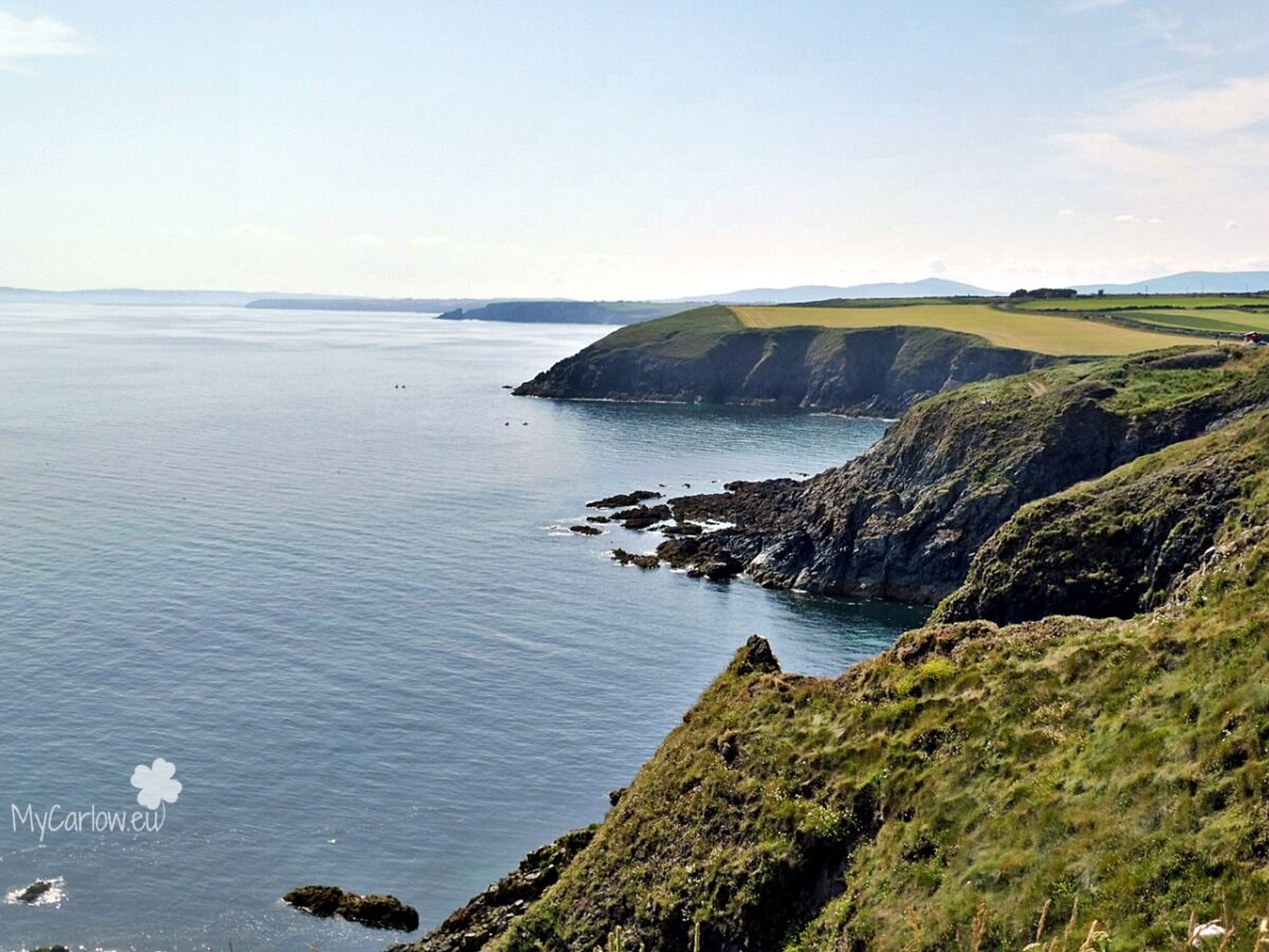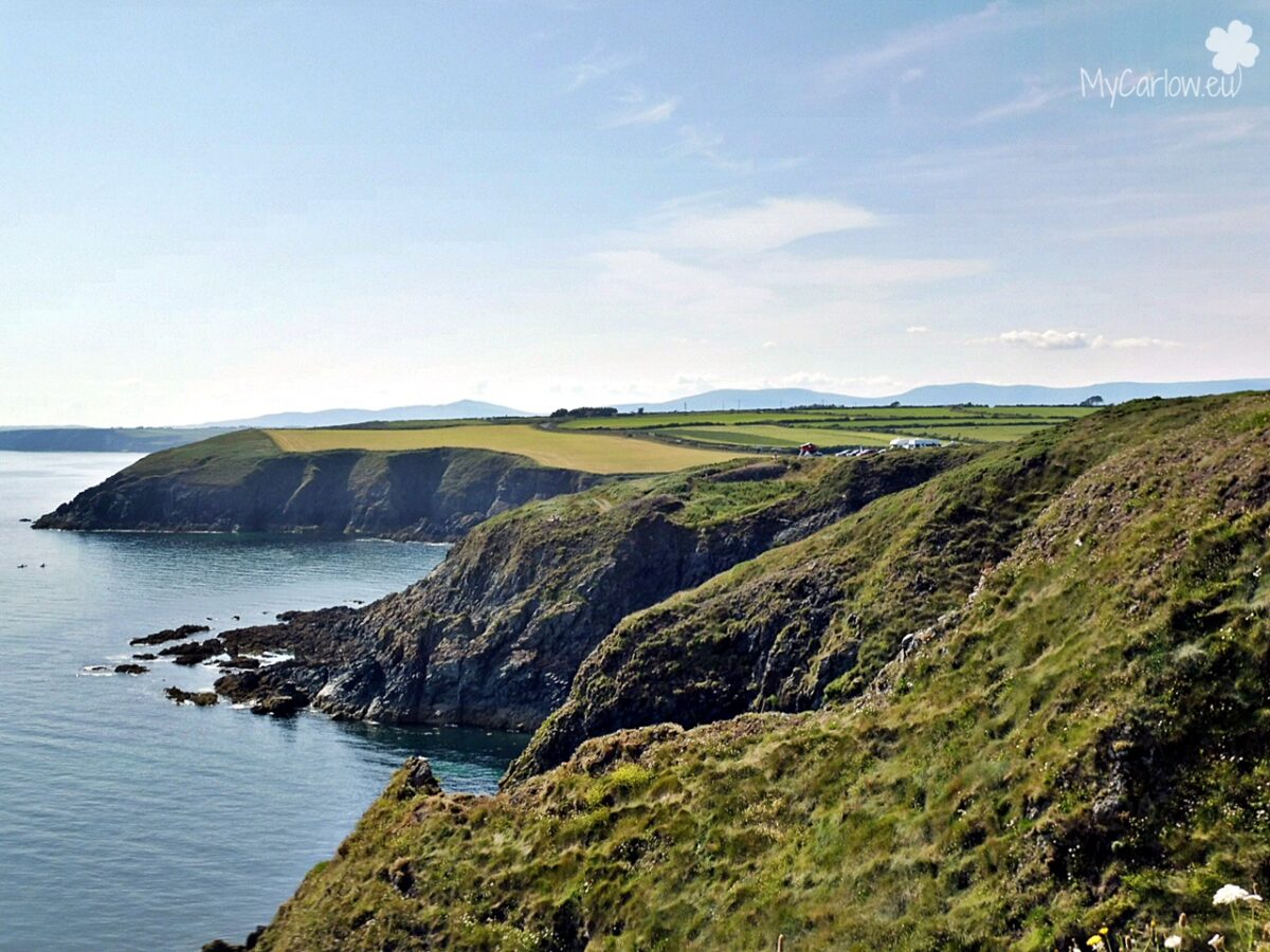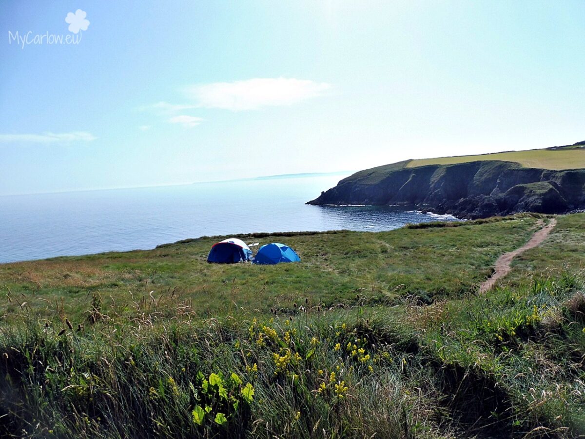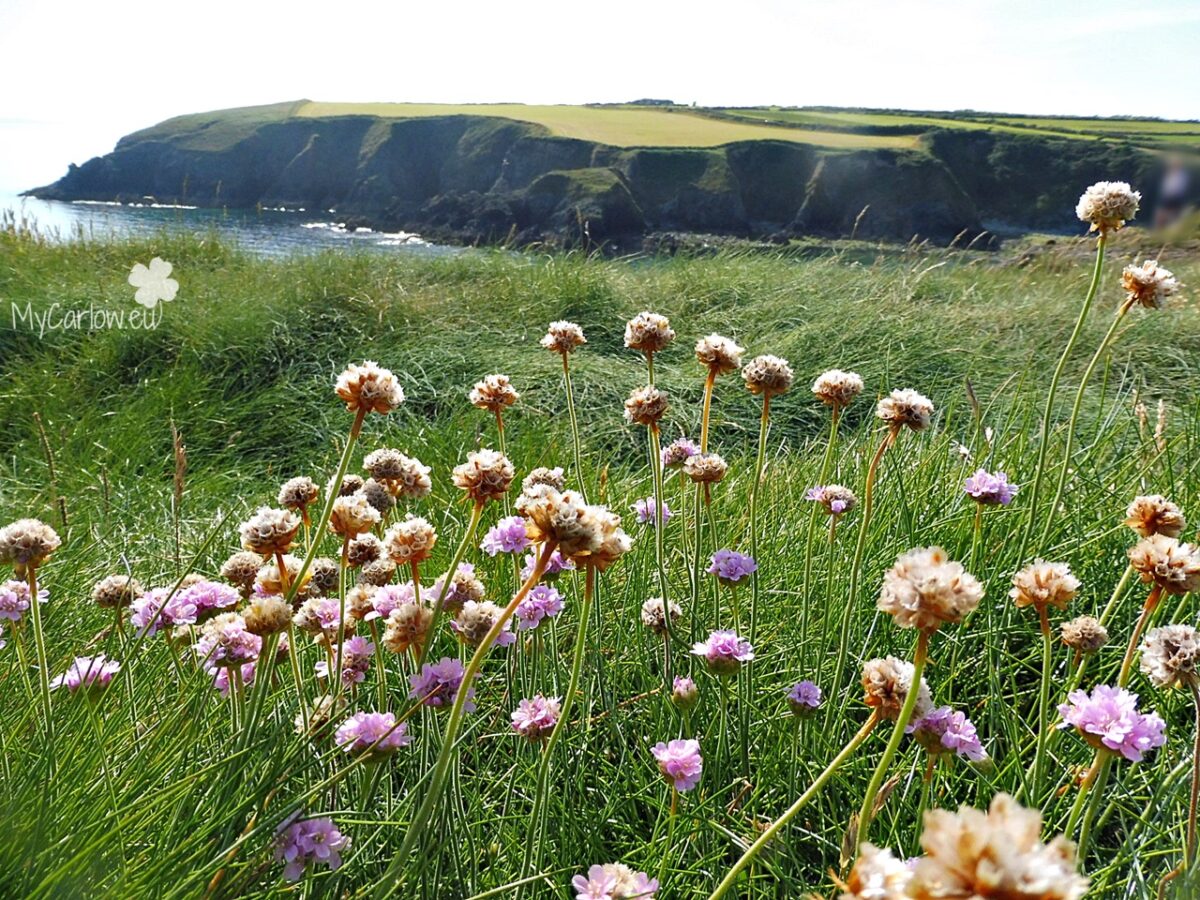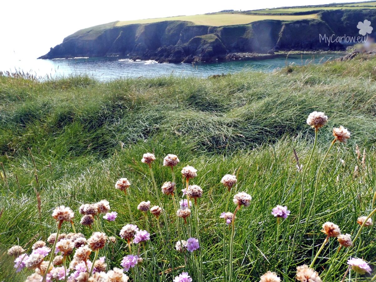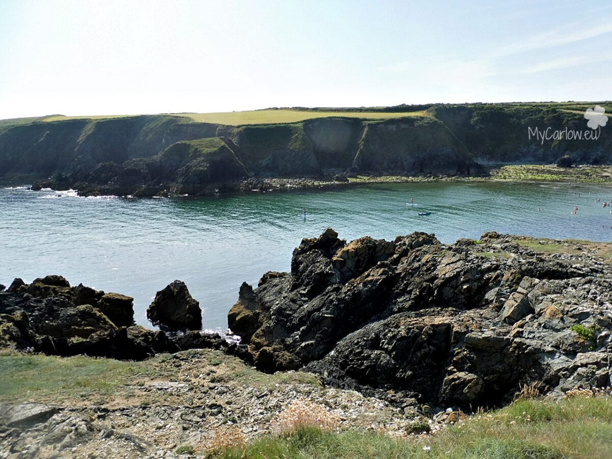
From Tramore, I traveled to Dunabrattin Head on The Copper Coast which stretches for 25 km between Tramore and Dungarvan in County Waterford.
The Copper Coast is now a UNESCO Global Geopark that gets its name from the 19th Century copper mines at its heart. It comprises some 25 kilometers of spectacular coastline consisting of scalloped beaches and coves buttressed and enclosed by rocky headlands.
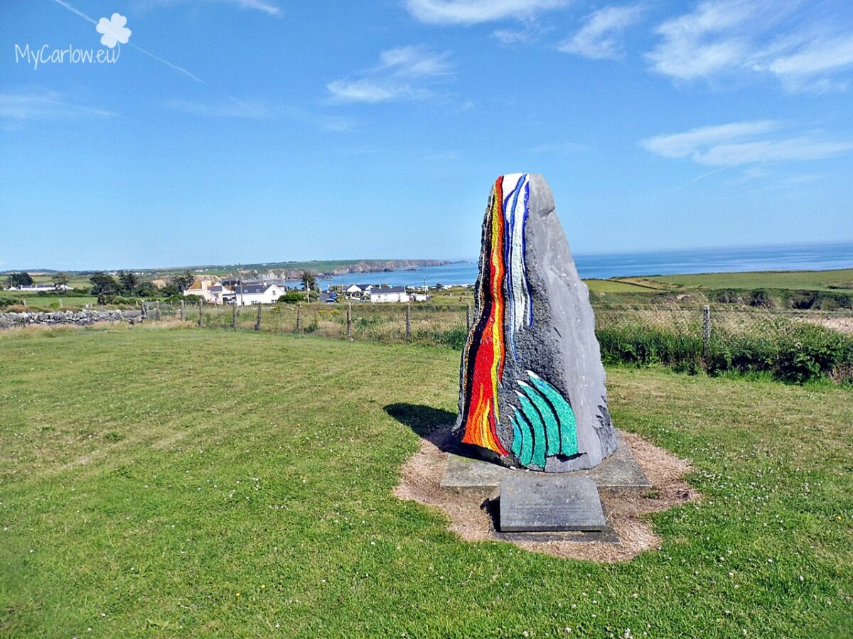
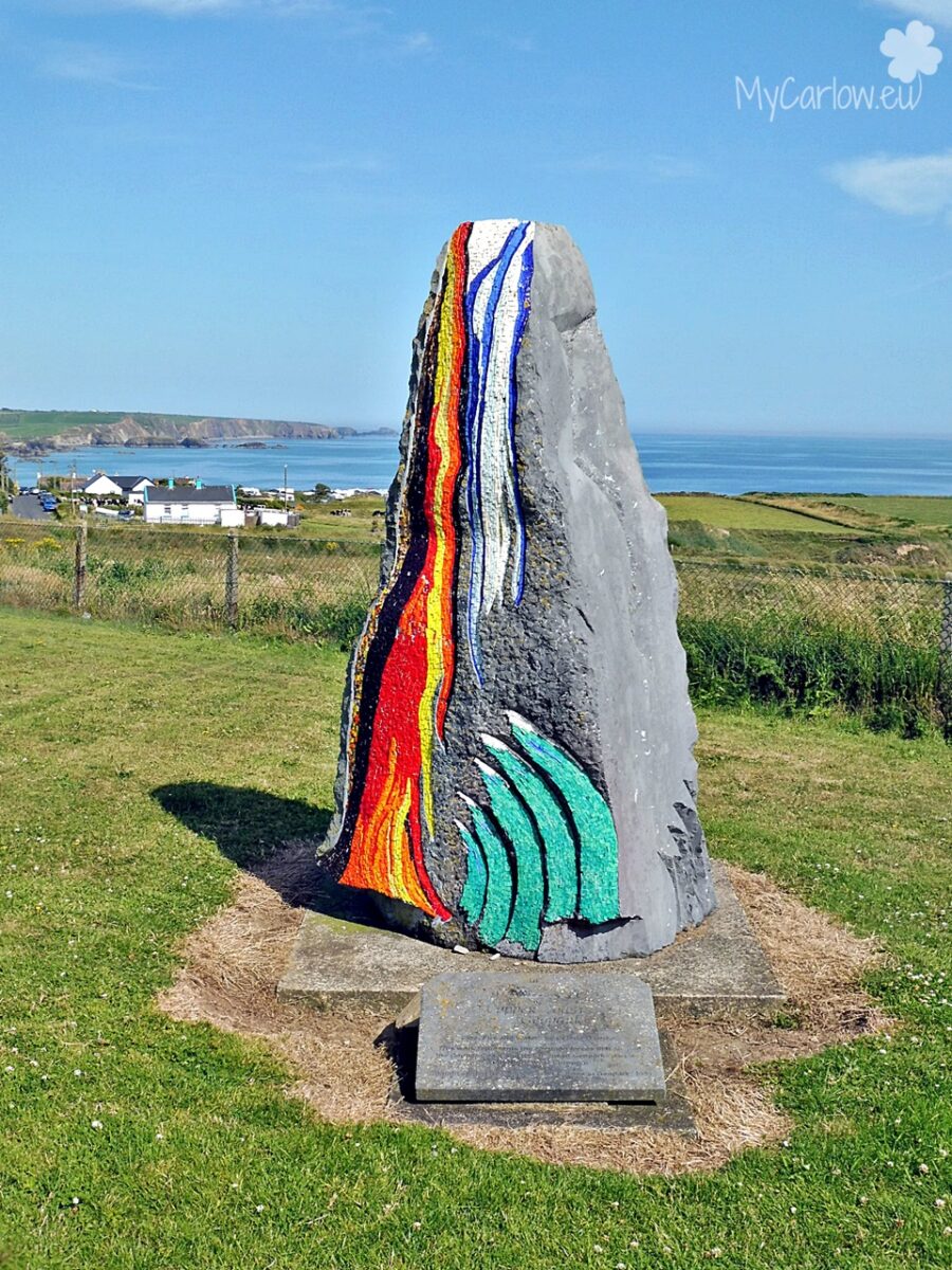
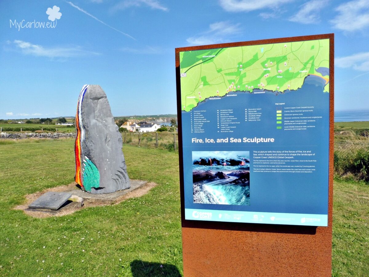
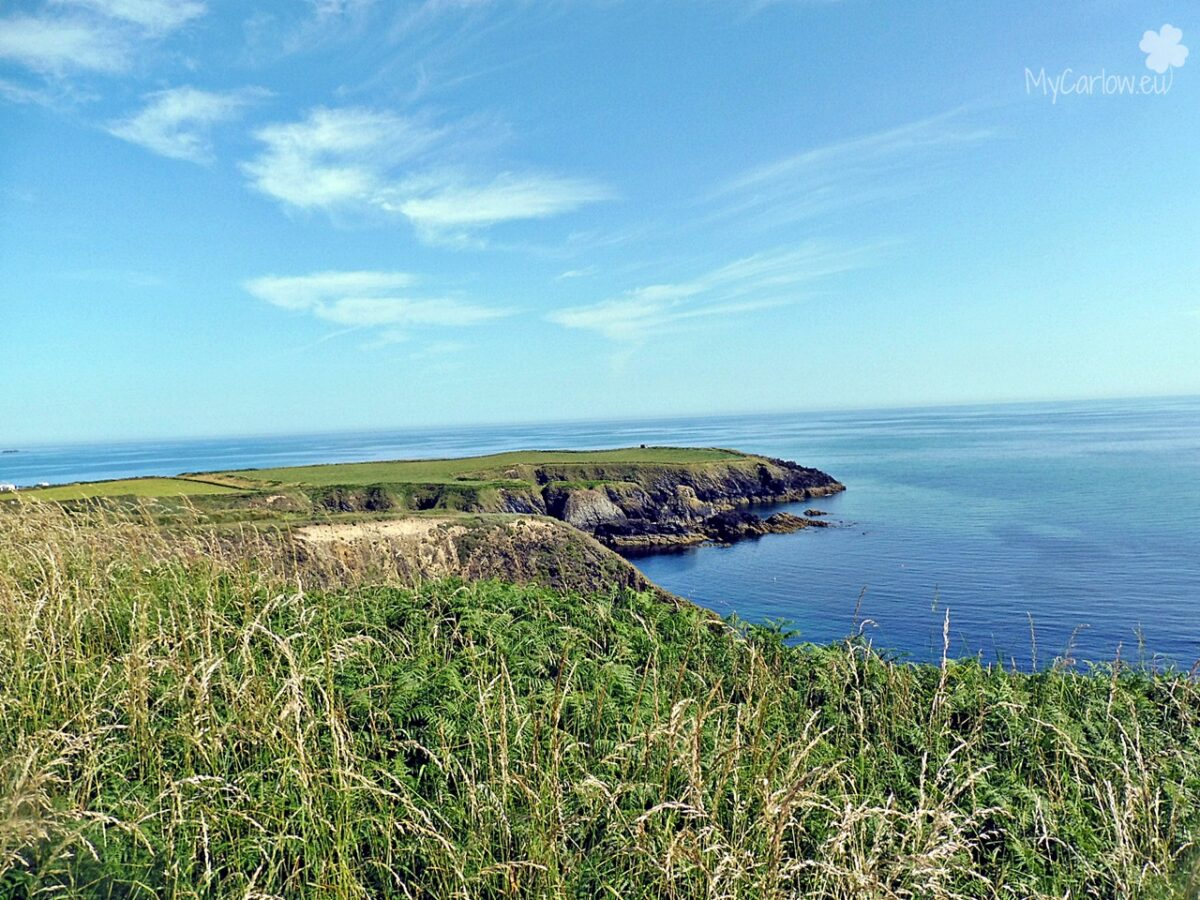
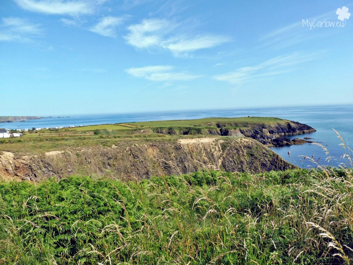
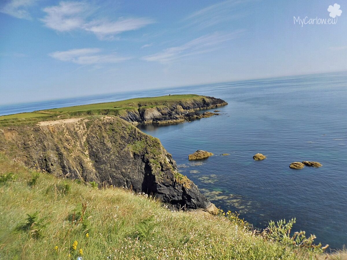
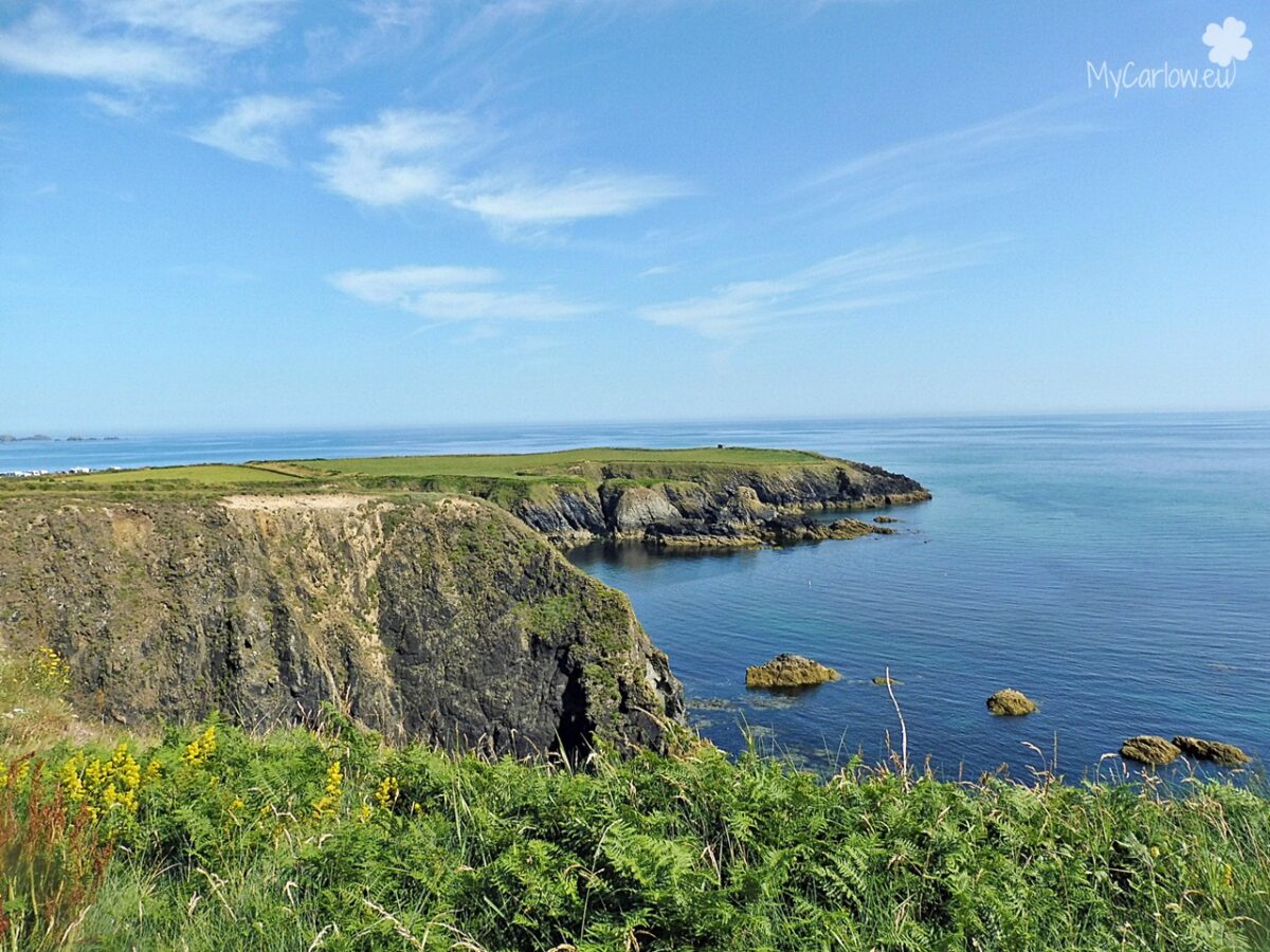
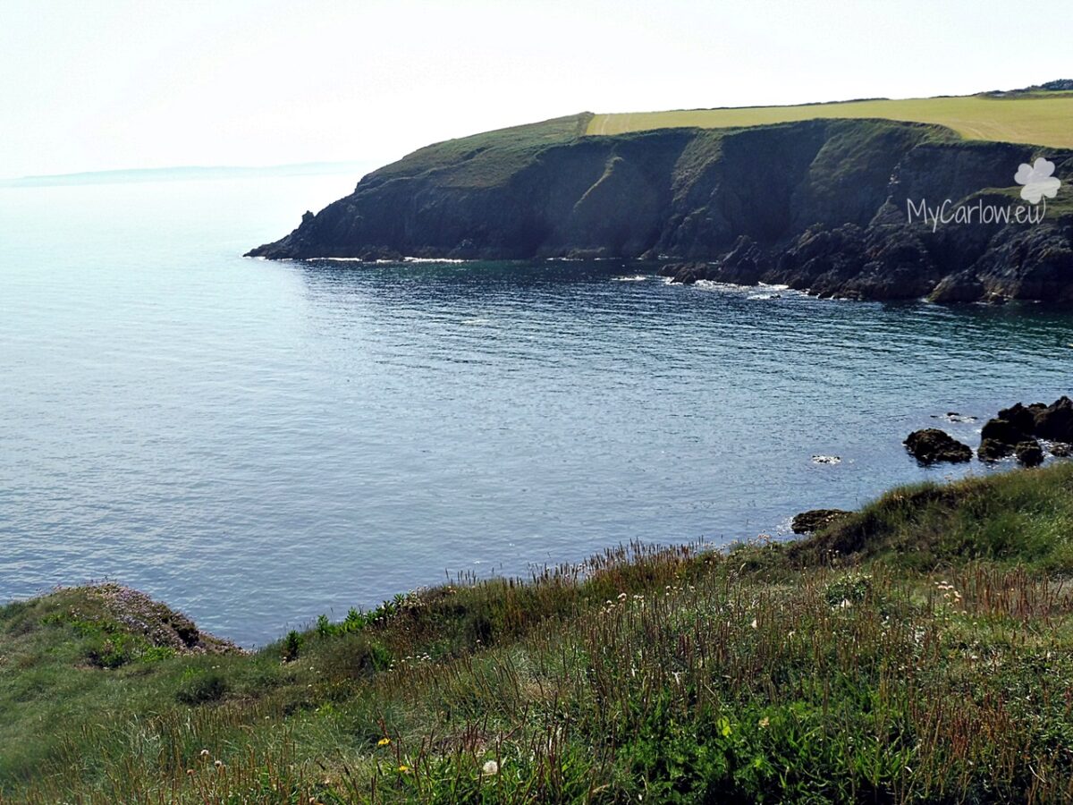
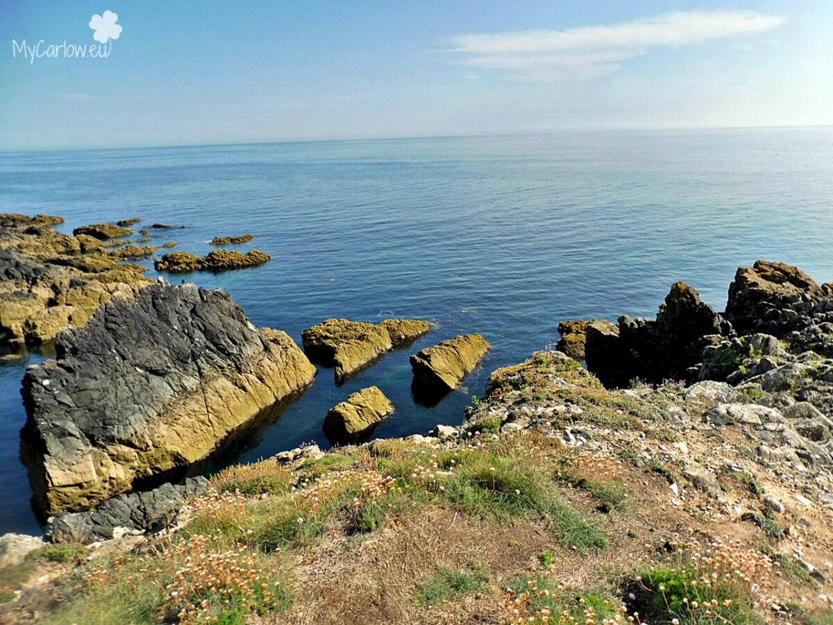
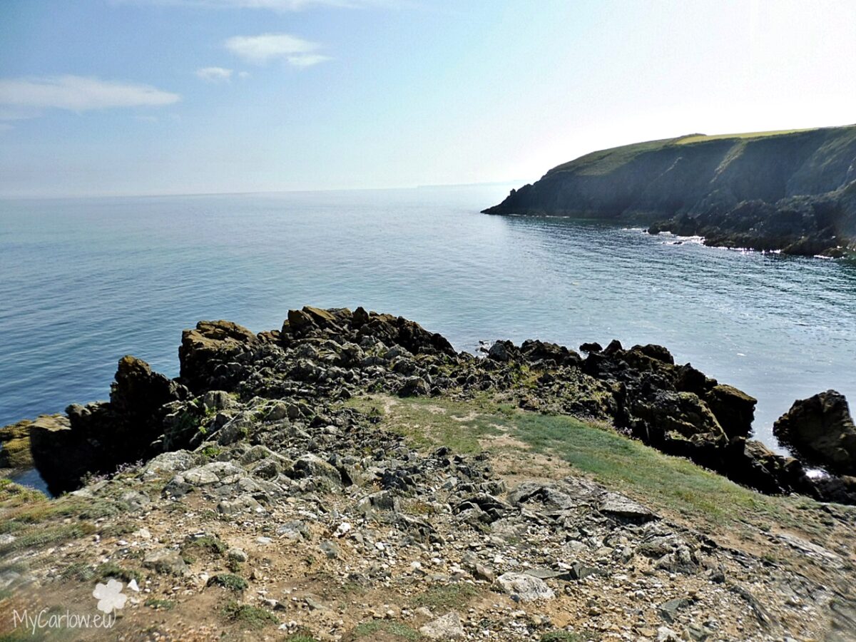
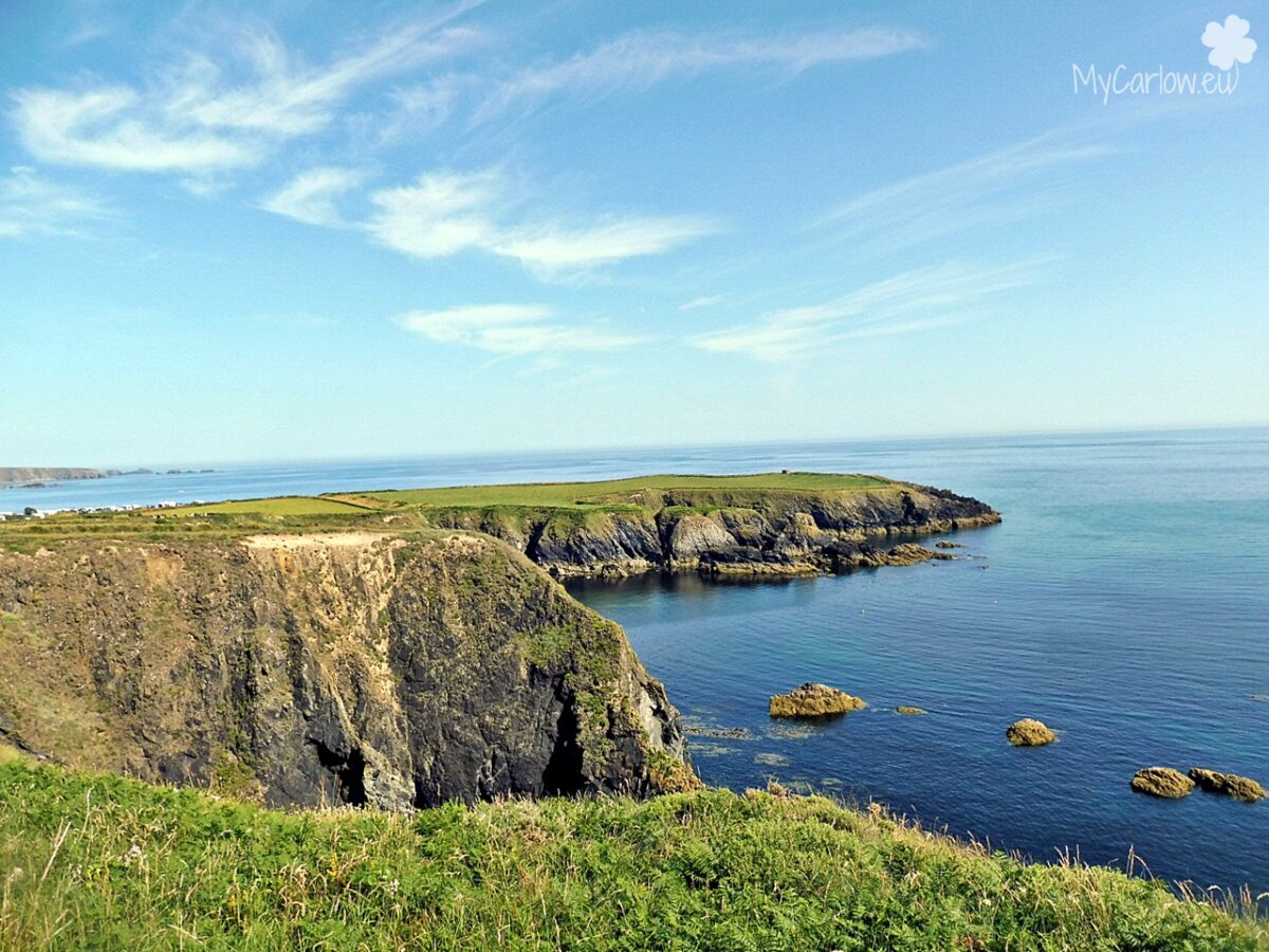
The first place we stopped was Dunabrattin Head which offers spectacular views of the Waterford coastline.
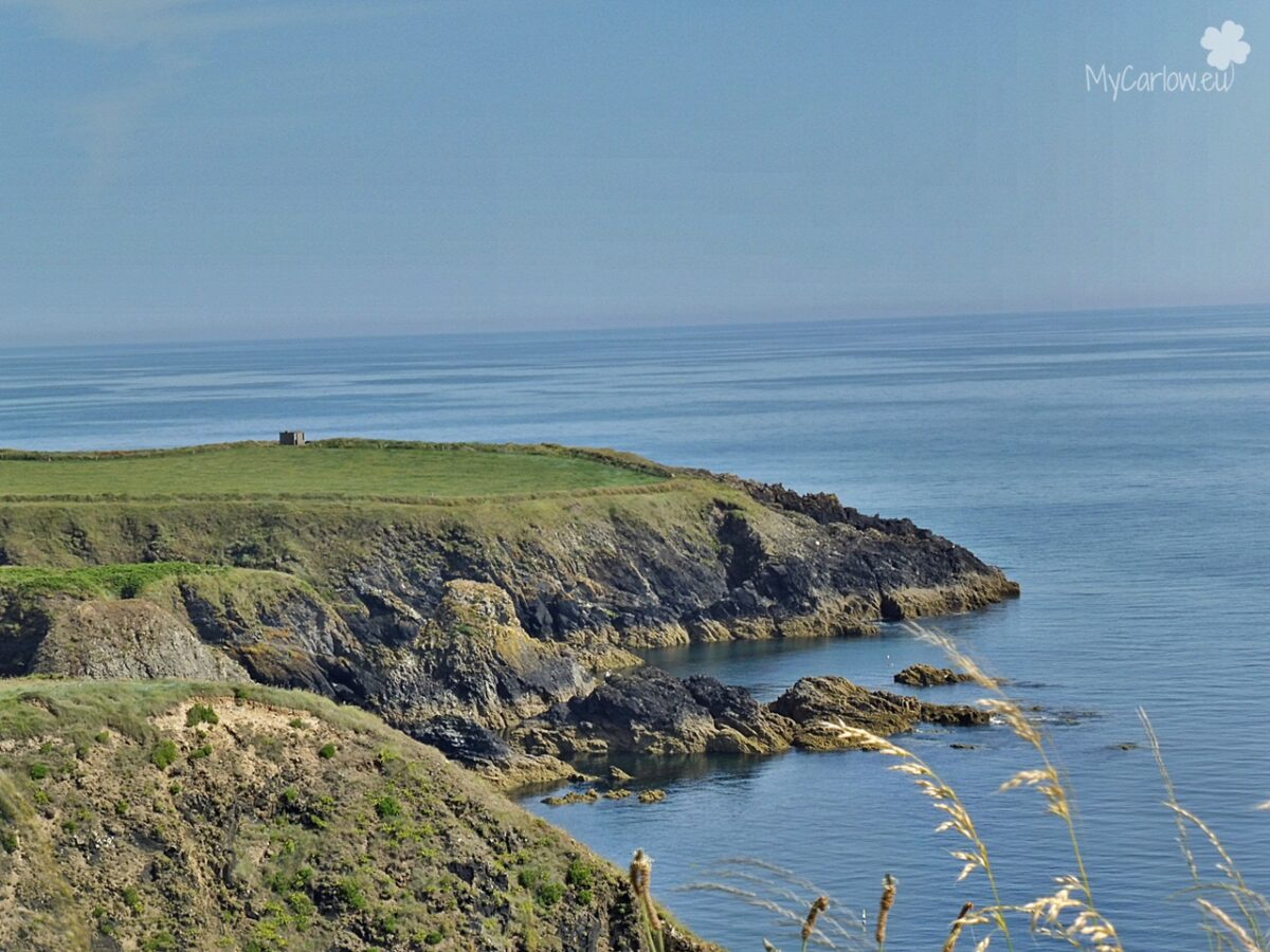
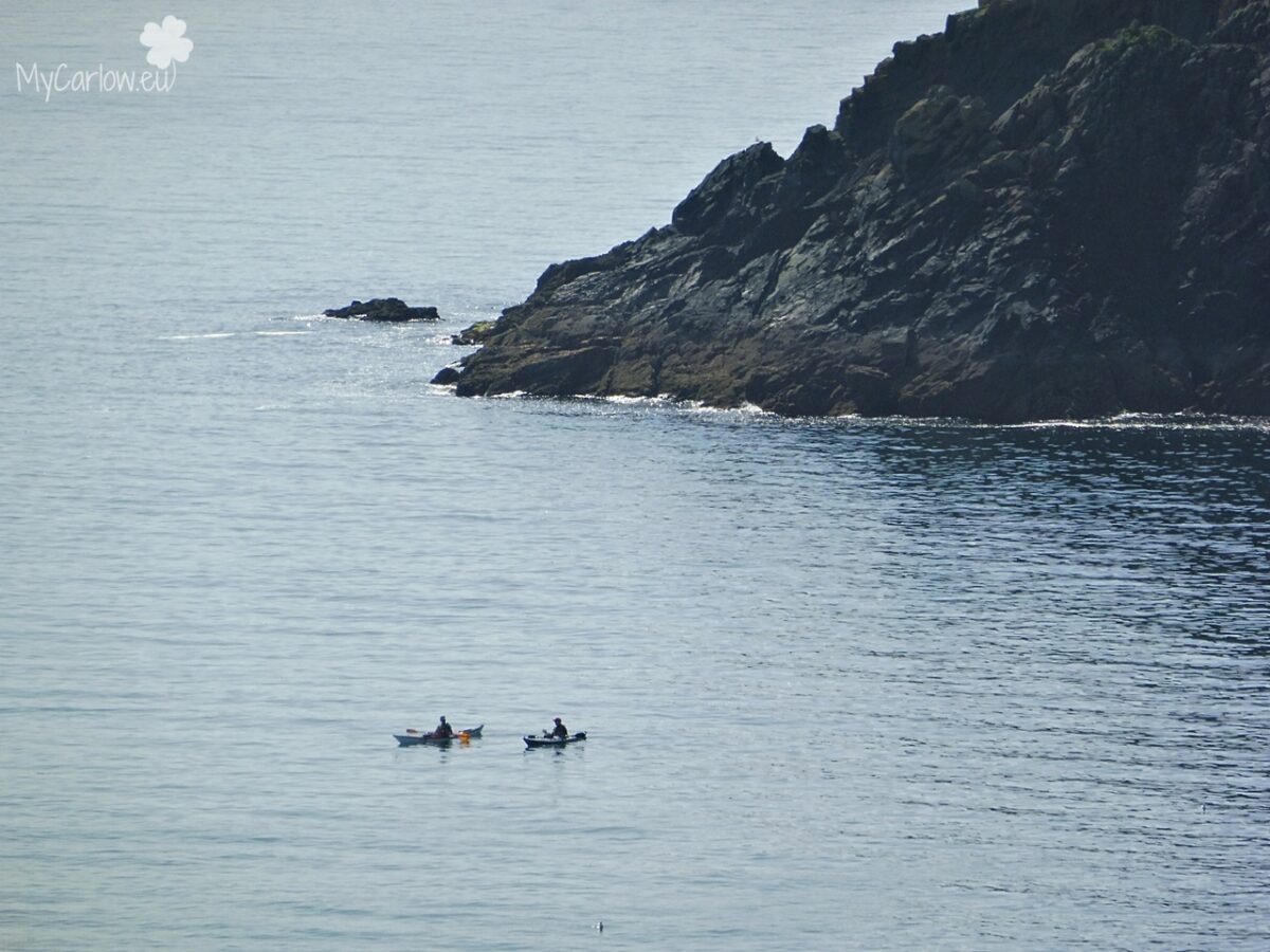
Dunabrattin Bay is a rugged stretch of the Copper Coast in County Waterford. Several small rock formations rise up from the floods off the coast. A very special example is located between Dunabrattin Head and Boastrand – here stands a large sea arch. The headland here is home to fossils and prehistoric forts.
The rocks at Dunabrattin Head formed about 460 million years ago.
Most of the headland here is made of calcareous (calcium-rich) mudstones and siltstone rocks that were laid down in a seafloor environment between violent volcanic events. The rocks here have yielded a collection of fossils, particularly trilobites, for display in the 19th century. Such as those of the Geological Survey of Ireland. Also, you can find here Fossils of Bryozoa and shellfish.
The headland is particularly renowned for one trilobite species Illaenus bowmanni.
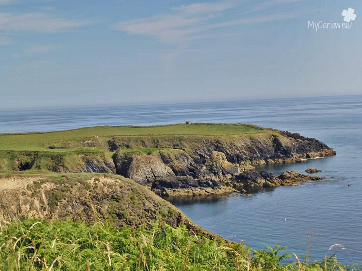
The headlands at Dunabrattin are also home to a ragged promontory. Severed from the mainland with a ditch and bank, creating a large promontory fort. Inside a fort, a smaller area has been isolated with a ditch and bank.
Small promontory forts can be found perched along the cliffs of the Waterford coast that were long thought to be refuges for late prehistoric farmers, escaping warring neighbors and pirates. But they may have also been pens for animals or more permanent settlements. The small concrete building on the headland of Dunabrattin was built as a coastal lookout in the 20th century, during the Second World War.
The place name (Dún na mBreatan) means “Fort of the Britons” which is unusual. In the mid-first millennium AD, there were strong links across the Irish Sea. The Irish were responsible for often raiding the Roman province. And were probably invited by the Romans to settle and defend West Wales, where Irish inscriptions and Irish personal and tribal names appear.
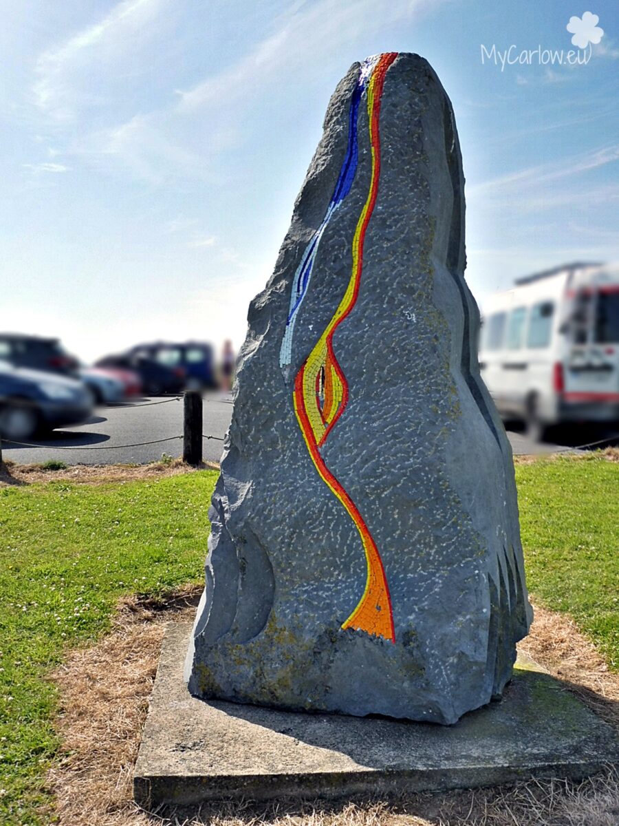
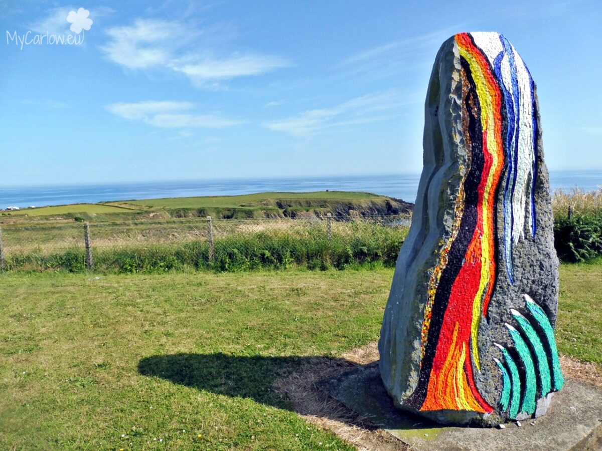
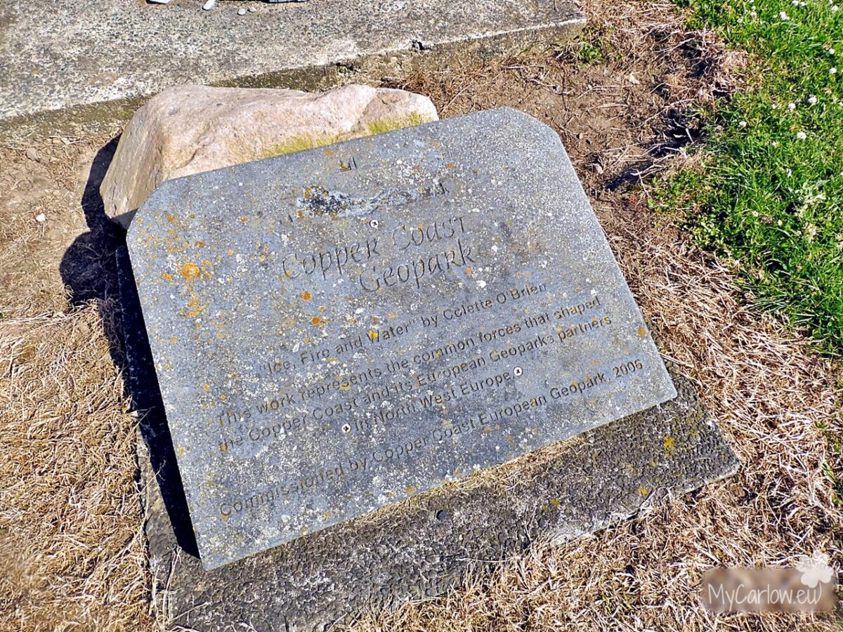
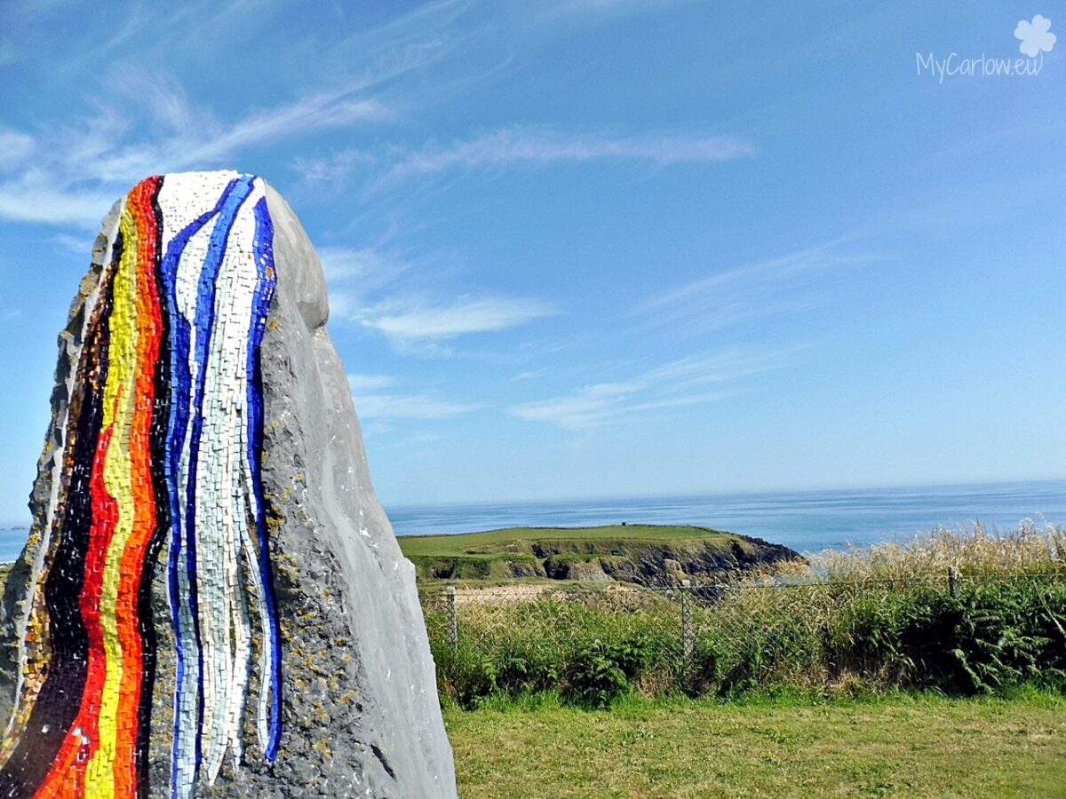
Source: Information board at Dunabrattin Head.
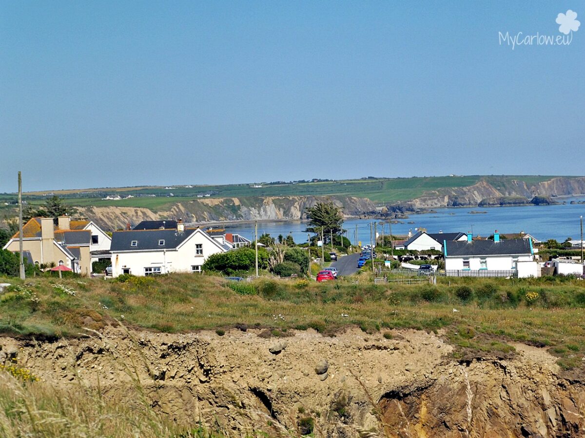
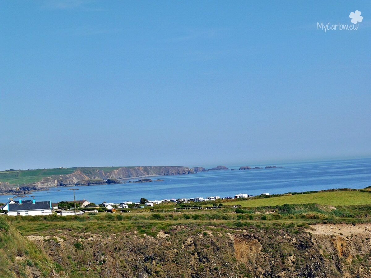
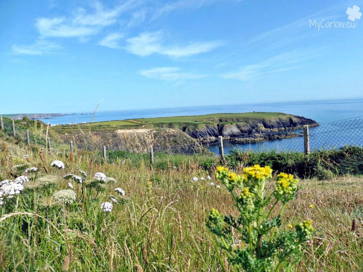
Nordwest of Dunabrattin Head, close to Boat Strand is situated Kilmurrin Cove.
Location of Dunabrattin Head:
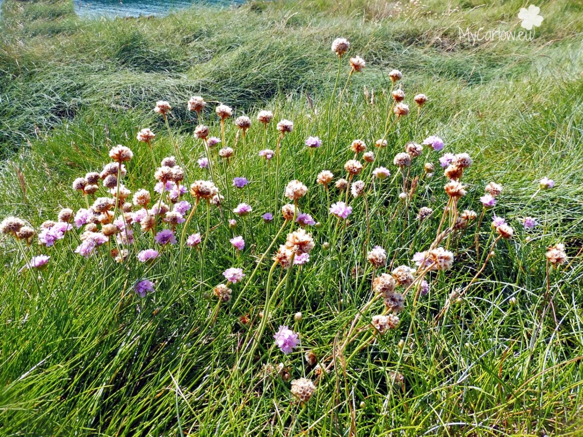
Below are photos I took in July 2021.